
What is recorded here
On a gradual SE-facing slope in gently undulating terrain, on a low natural ridge running NE-SW. Enclosure (TS081-035----) now levelled would have been visible c. 250m to the S. Enclosure (diam. c. 40m) is bisected by an earthen field boundary with stone revetting, running N-S, and is respected by a field boundary running NE-SW. The site is depicted on the 1st (1840) ed. OS 6-inch map as a circular, banked enclosure with trees in the interior. On the subsequent 2nd (1906) ed. the monument is not marked implying that the site was levelled between 1840 and 1906. The W side of the enclosure is in tillage, the former bank is faintly discernible as a curving rise (Wth 5m; int. H 0.4m; ext. H 0.18m) in the field. The E side is under grass with no visible trace above ground. According to the landowner the corner of the tillage field where the monument was located is noted as being particularly stony.
Compiled by: Jean Farrelly
Date of upload: 07 January 2014
This remains an important historical record, but the official description says the monument is no longer visible or has been destroyed. The monument record does not grant public access. Check the route and ask the landowner before entering private land.
- What survives
- No visible remains or recorded as destroyed
Places near here
 Water millWater mill, unclassified · 961 yd
 Enclosure in DerravoherEnclosure · 1395 yd
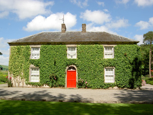 Farmly Househouse · 1473 yd
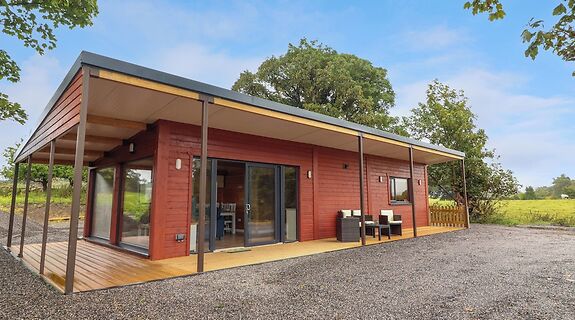 Enclosure in KillinureEnclosure · 1.1 mi
 Garrycloher WoodForest · 1.3 mi
 CastleCastle, motte · 1.4 mi
 Roosca CastleCastle · 1.7 mi
 Pedunculate OakPedunculate Oak · 2.2 mi
 Woodcock HillMountain / peak · 3.0 mi
 Cahir CastleHeritage attraction · 3.2 miSiege of Cahir Castlesiege · 3.3 mi
 Caher AbbeyHeritage attraction · 3.5 mi
Other information
Photo: Credit not shown in the picture search · Rights wording not checked; contact us if this picture should be removed