
What is recorded here
On a S-facing slope, just off the crest of a hill in rolling pasture. This enclosure is indicated as an irregular enclosure (dims. c. 32m NE-SW; c. 35m NW-SE) on the 1st (1840) ed. OS 6-inch map but appears to have been levelled by the 2nd (1904-05) ed. There is no visible trace of the enclosure above ground. The enclosure is visible as a cropmark on satellite imagery (2021 Maxar Technologies, viewed May 2021), identified and reported by Jean-Charles Caillère. Two enclosures (TS081-082----; TS081-083----), also visible as cropmarks, are located c. 180m and c. 240m to the SE respectively.
See attached photograph:
TS081-049----_01 Satellite image (2021 Maxar Technologies, viewed May 2021)
Compiled by: Jean Farrelly
Date of revised upload: 30 June 2021
This remains an important historical record, but the official description says the monument is no longer visible or has been destroyed. The monument record does not grant public access. Check the route and ask the landowner before entering private land.
- What survives
- No visible remains or recorded as destroyed
Places near here
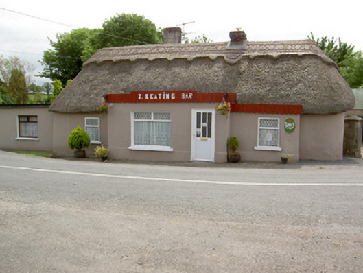 J. Keatinghouse · 604 yd
 Catholic Church of Our Lady and Saint Kieranchurch/chapel · 664 yd
 Enclosure in Burges WestEnclosure · 836 yd
 Site of ChurchChurch · 1123 yd
 CastleCastle, motte · 1.2 mi
 Knockane Castle ruinsCastle · 1.5 mi
 Garrycloher WoodForest · 1.8 mi
 Pedunculate OakPedunculate Oak · 2.9 mi
 Woodcock HillMountain / peak · 3.5 mi
 Cahir CastleHeritage attraction · 4.0 miSiege of Cahir Castlesiege · 4.0 mi
 Caher AbbeyHeritage attraction · 4.2 mi
Other information
Photo: Credit not shown in the picture search · Rights wording not checked; contact us if this picture should be removed