
What is recorded here
On a gentle E-facing slope in undulating terrain, under tillage. A circular cropmark identified on an aerial photograph (ASIAP (29) 29-31), it appears to part of a possible field system (TS081-073002-). It is not visible at ground level.
Compiled by: Jean Farrelly
Date of upload: 15 January 2014
A local fairy fort (ringfort/rath); wider significance not recorded.
The monument record does not grant public access. Check the route and ask the landowner before entering private land.
- What survives
- Recorded monument
Places near here
 Site of ChurchChurch · 362 yd
 Fulacht fia in BallynomasnaFulacht fia · 832 yd
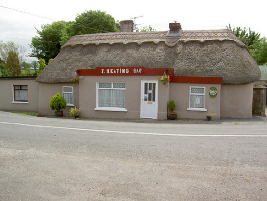 J. Keatinghouse · 1254 yd
 Catholic Church of Our Lady and Saint Kieranchurch/chapel · 1307 yd
 CastleCastle, motte · 1686 yd
 Knockane Castle ruinsCastle · 1.7 mi
 Garrycloher WoodForest · 2.3 mi
 Pedunculate OakPedunculate Oak · 3.1 mi
 Woodcock HillMountain / peak · 3.4 mi
 Cahir CastleHeritage attraction · 4.3 mi
 The VeeViewpoint · 4.4 miSiege of Cahir Castlesiege · 4.4 mi
Other information
Photo: Credit not shown in the picture search · Rights wording not checked; contact us if this picture should be removed