
What is recorded here
In flat flood plain of the Thonoge River on the S bank, in a marshy area called 'Cloghaun' on the 2nd (1907) ed. OS 6-inch map which is liable to flood. Identified as a monument on an aerial photograph (Bord Gáis 32/6645). A large, oval mound (dims. 17m N-S; 22.4m E-W; H 1.15-1.22m) with slight depression (dims. 5.5m N-S; 4.2m E-W) towards the W end on the S side giving a suggestion of a kidney shape, though the mound spreads further to the E than W. Grass-covered mound but where the soil is exposed it is very dark in colour and c. 20cm below the grass level there is a compact stoney layer, sandstone, at least one of which is possibly heat shattered. The surrounding ground is very waterlogged with a lot of reeds.
Compiled by: Jean Farrelly
Date of upload: 26 August 2011
The monument record does not grant public access. Check the route and ask the landowner before entering private land.
- What survives
- Recorded monument
Places near here
 Site of ChurchChurch · 559 yd
 Enclosure in Burges WestEnclosure · 832 yd
 CastleCastle, motte · 1367 yd
 Saint John's Church (Tubbrid)church/chapel · 1447 yd
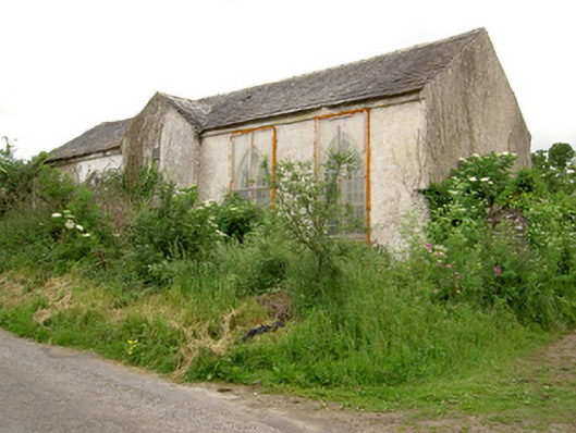 Tubbrid Schoolschool · 1492 yd
 Knockane Castle ruinsCastle · 2.0 mi
 Garrycloher WoodForest · 2.8 mi
 Pedunculate OakPedunculate Oak · 3.2 mi
 Woodcock HillMountain / peak · 3.3 mi
 The VeeViewpoint · 3.9 mi
 Grubb’s GraveMemorial · 4.0 mi
 Cahir CastleHeritage attraction · 4.6 mi
Other information
Photo: Credit not shown in the picture search · Rights wording not checked; contact us if this picture should be removed