What is recorded here
Black soil and broken pottery mark the site of a vanished home. The fort stands as a low ring on a sunny slope, its earthen bank half swallowed by pasture and fence. It is not a fairy tale but a human dwelling, reduced to a shallow circle that still resists forgetting.
In pasture, on SE-facing slope. Circular low platform (28m N-S; 28m E-W) enclosed by slight remains of earthen bank (int. H 0.15m; ext. H 0.9m); external fosse (D 0.3m). Bank incorporated into field fence system ESE->SE. Interior slopes down to S. According to local information, when site ploughed, patch of black material visible in interior. Circular enclosure visible, as cropmark of fosse, in aerial photograph (CASAP).
The above description is derived from the published 'Archaeological Inventory of County Cork. Volume 4: North Cork' (Dublin: Stationery Office, 2000). In certain instances the entries have been revised and updated in the light of recent research.
Date of upload/revision: 14 January 2009
The monument record does not grant public access. Check the route and ask the landowner before entering private land.
- What survives
- Recorded monument
Places near here
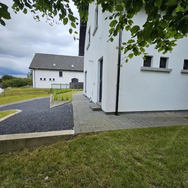 Enclosure in Ballyellis (fermoy By., Templeroan Par.)Enclosure · 189 yd
 IndicatedCastle, tower house · 420 yd
 Dannanstown Housemill manager's house · 434 yd
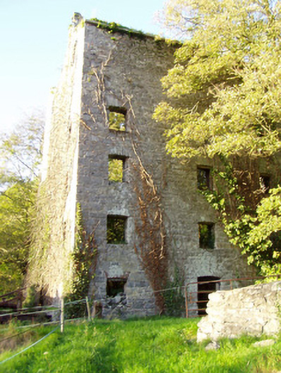 mill (water)mill (water) · 485 yd
 TumulusCairn, unclassified · 668 yd
 Shanballymore Castle (Site of)Castle, unclassified · 841 yd
 Anne's Grove GardensHeritage attraction · 1438 yd
 Horse Field WoodForest · 2.7 mi
 North Meadow WoodForest · 2.8 mi
 Flat cemetery in Ballyenahan NorthFlat cemetery · 3.3 mi
 Blackwater (Avondhu) WayWalking route · 4.9 mi
 Graveyard in BoherashGraveyard · 5.0 mi