What is recorded here
In improved pasture; drainage channels and dry stream beds. Circular area (diam. 20.5m) defined by low bank (Wth 5.9m; int. H 0.2m; ext. H 1.2m) WNW-NW and ESE-SE and a denuded scarp (Wth 3m; H 0.95m) NW-ESE and SE-WNW. Breach (Wth 0.75m) at E. Fosse (Wth 6.55-7.25m; D 0.5-0.65m) is waterlogged NW-SE and poorly drained elsewhere. Possible remains of outer bank (Wth 6.1m; int. H 0.9m; ext. H 0.2m) WNW-N and ESE. Raised area (dims. 6m N-S; 8m E-W) defined by scarp (Wth 1.5m; H 0.2m) ESE-WNW and levelled scarp (Wth 1m; H 0.05m) WNW-NNW within NE sector is a possible house foundation.Possible entrance at S and depression within.
Compiled by: Jean Farrelly
Date of upload: 26 August 2011
The monument record does not grant public access. Check the route and ask the landowner before entering private land.
- What survives
- Recorded monument
Places near here
 Enclosure in Barronstown (ormond), (shronell Par.)Enclosure · 984 yd
 Enclosure in BallycohyEnclosure · 1014 yd
 Church in Deerpark (shronell Par.)Church · 1659 yd
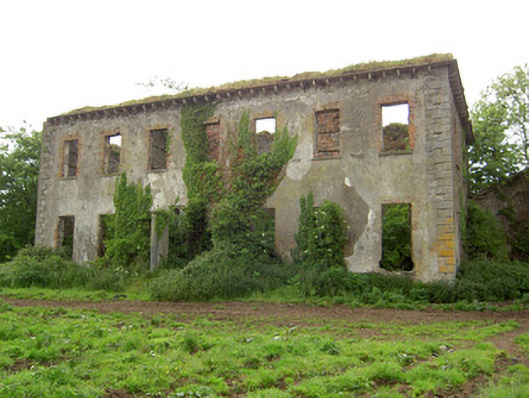 Roesborough Housecountry house · 1.0 mi
 Site of CastleCastle, unclassified · 1.6 mi
 Mutton Pie HillCastle, motte · 2.3 mi
 The Maid of ErinMemorial · 2.7 mi
 Oola HillMountain / peak · 3.2 mi
 Bansha ForestForest · 4.0 mi
 SlievenamuckMountain / peak · 4.0 mi
 The RockViewpoint · 4.3 mi
 Glen of AherlowViewpoint · 4.5 mi