
What is recorded here
In grassland on an E-facing slope of rising ground in an upland area with good views in all directions. The church in Shronell graveyard (TS066-020001-) is not visible at ground level. An old Protestant church is indicated on the 1st ed. OS 6-inch map in the NW quadrant of Shronell graveyard and may have been built on the site of the medieval church (O'Flanagan 1930, vol. 1, 11). The Civil Survey (1654-6) describes two acres of glebeland being situated 'close by the churchyard of Sroniell on the east of the said church and being in the third pt colpe of Sronill Towne and is finced about wth a ditch' (Simington 1934 vol. 2, 57). The tithes great and small of the parish were worth 20 pounds in 1640 and one third belonged to the vicar of the church and the other two thirds belonged to the Earl of Ormond (ibid. 57).
Compiled by: Jean Farrelly
Date of upload: 26 August 2011
The monument record does not grant public access. Check the route and ask the landowner before entering private land.
- What survives
- Recorded monument
Places near here
 Enclosure in Shronell Beg,shronell MoreEnclosure · 956 yd
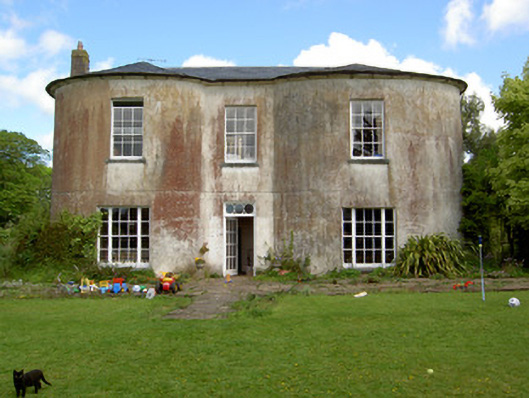
 Damerville Courts (in Ruins)House, 18th/19th century · 1087 yd
 Enclosure in BallycohyEnclosure · 1438 yd
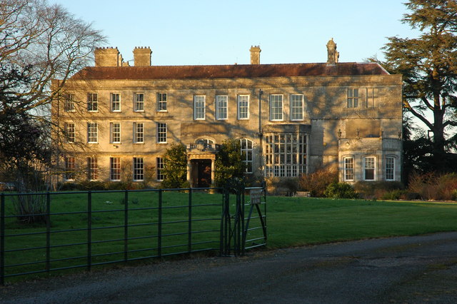
 Shronell Househouse · 1447 yd
 MoatCastle, motte · 1.6 mi
 Site of CastleCastle, unclassified · 1.7 mi
 SlievenamuckMountain / peak · 3.2 mi
 Bansha ForestForest · 3.4 mi
 Oola HillMountain / peak · 3.9 mi
 The RockViewpoint · 4.1 mi
 Glen of AherlowViewpoint · 4.1 mi
 Christ the KingViewpoint · 4.2 mi
Other information
Photo: Credit not shown in the picture search · Rights wording not checked; contact us if this picture should be removed