What is recorded here
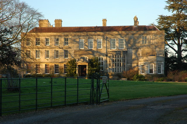
In grassland atop rise of ground with good views in all directions, two storey early 18th-century house of which only half of the front SE façade survives, of which only partially the W gable and part of the S façade is upstanding. Post-1700 house which was in ruins by 1776 (Lewis 1837, 554). No evidence of any building pre-1700 in area marked on latest ed. OS 6-inch map. Good evidence of early Georgian red brick incorporated into the fabric of the house, flat headed windows with bracket style keystone. Front wall of house constructed with rubble limestone and external render with good cut stone quoins all of which stands on a moulded protruding plinth. Remains of walled courtyard area to SW of house. House depicted on first ed. OS 6-inch map with central portion flanked on either side by a set back wing on either side of the central block of which only remains of the W wing survives.
Compiled by: Jean Farrelly
Date of upload: 26 August 2011
The monument record does not grant public access. Check the route and ask the landowner before entering private land.
- What survives
- Recorded monument
Places near here
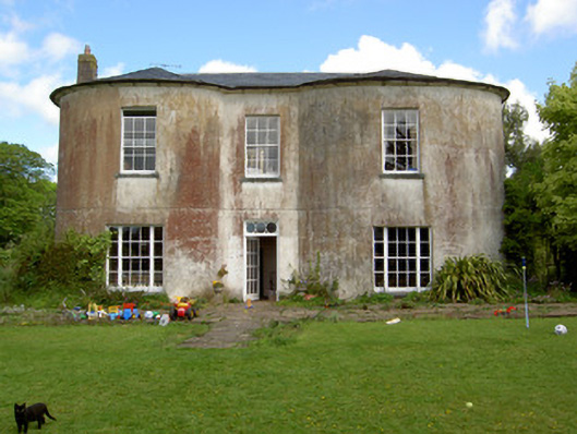 Shronell Househouse · 457 yd
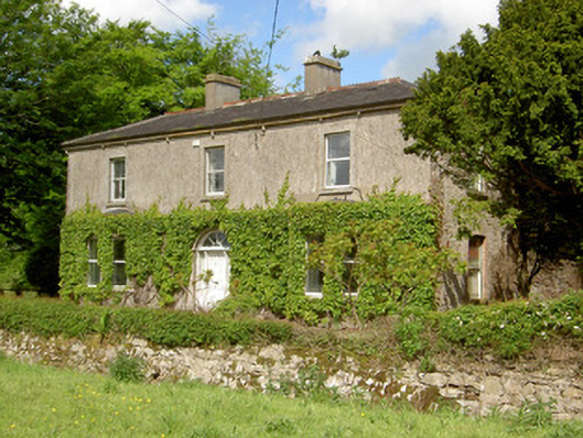 Damervillehouse · 515 yd
 Enclosure in Shronell (bruis Par.)Enclosure · 981 yd
 Enclosure in Shronell Beg,shronell MoreEnclosure · 1211 yd
 CastleCastle, ringwork · 1498 yd
 MoatCastle, motte · 1.6 mi
 SlievenamuckMountain / peak · 3.2 mi
 Bansha ForestForest · 3.6 mi
 Oola HillMountain / peak · 3.9 mi
 Glen of AherlowViewpoint · 4.5 mi
 Christ the KingViewpoint · 4.5 mi
 The RockViewpoint · 4.5 mi
Other information
Photo: Credit not shown in the picture search · Rights wording not checked; contact us if this picture should be removed