What is recorded here
Fairy forts are often called raths, though they predate human habitation. They are places where the veil between worlds is thin, and the dead or fairy folk may still walk. The earthen banks are not human made, but shaped by forces older than memory. To enter is to leave the living world behind.
Situated towards the top of the SW-facing slope of a NW-SE spur. This is an oval grass and scrub-covered area (dims 40m NW-SE; c. 30m NE-SW) that slopes down to the SW, which is defined by an overgrown earthen bank (at NW: Wth 7m; int. H 1m; ext. H 1.8m) separated by a berm (at NW: Wth 5.5m) from an outer bank (at NW: Wth 2.6m; int. H 1.2m; ext. H 0.4m) that are best preserved NW-N. However, the inner bank is missing S-NW while the outer bank is missing N-SSE and reduced to a scarp S-NW. There are entrances at SE (Wth of top 3.2m) and W (Wth of top 2m). In the centre there is a scrub-covered cairn (dims 12m NW-SW; 4.7m NE-SW; H 0.5m at NE to 1.7m at SW) of field stones, but it may have provided the location for a mass-rock in penal times (Ó Gallachair 1957, 119).
The above description is derived from the published 'Archaeological Inventory of County Monaghan' (Dublin: Stationery Office, 1986). In certain instances the entries have been revised and updated in the light of recent research.
Date of revision: 27 July 2017
The monument record does not grant public access. Check the route and ask the landowner before entering private land.
- What survives
- Recorded monument
Places near here
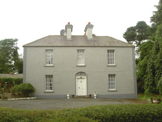 Tullagee Househouse · 814 yd
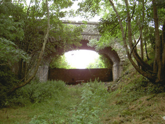 Tullagee Bridgebridge · 968 yd
 Man-made underground passage in ComraghsMan-made underground passage · 1450 yd
 Field system in DrumirrilField system · 1637 yd
 IndicatedCastle, motte and bailey · 1.0 mi
 CastleCastle, motte and bailey · 1.6 mi
:no_upscale()/cdn.vox-cdn.com/uploads/chorus_asset/file/25593391/County_Louth_6th.jpg) LouthMountain / peak · 3.4 mi
LouthMountain / peak · 3.4 mi Sky HillMountain / peak · 5.3 mi
 Ballsmill Amenity LandPicnic place · 5.4 mi
 Photo GalleryHeritage attraction · 5.9 mi
 Dundalk CentralHeritage attraction · 5.9 mi
 Maid of ErinMemorial · 6.3 mi