What is recorded here
Situated towards the top of the SW-facing slope of a NW-SE spur. This is an oval grass and scrub-covered area (dims 40m NW-SE; c. 30m NE-SW) that slopes down to the SW, which is defined by an overgrown earthen bank (at NW: Wth 7m; int. H 1m; ext. H 1.8m) separated by a berm (at NW: Wth 5.5m) from an outer bank (at NW: Wth 2.6m; int. H 1.2m; ext. H 0.4m) that are best preserved NW-N. However, the inner bank is missing S-NW while the outer bank is missing N-SSE and reduced to a scarp S-NW. There are entrances at SE (Wth of top 3.2m) and W (Wth of top 2m). In the centre there is a scrub-covered cairn (dims 12m NW-SW; 4.7m NE-SW; H 0.5m at NE to 1.7m at SW) of field stones, but it may have provided the location for a mass-rock in penal times (Ó Gallachair 1957, 119).
The above description is derived from the published 'Archaeological Inventory of County Monaghan' (Dublin: Stationery Office, 1986). In certain instances the entries have been revised and updated in the light of recent research.
Date of revision: 27 July 2017
The monument record does not grant public access. Check the route and ask the landowner before entering private land.
- What survives
- Recorded monument
Places near here
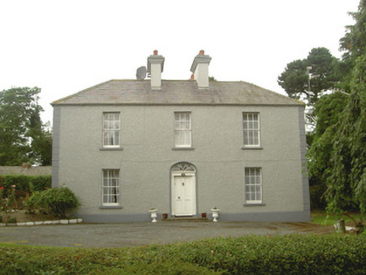 Tullagee Househouse · 814 yd
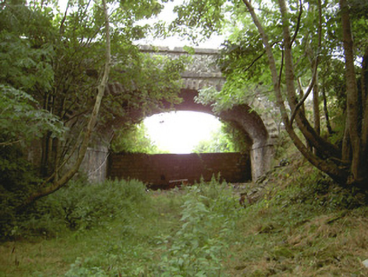 Tullagee Bridgebridge · 968 yd
 Man-made underground passage in ComraghsMan-made underground passage · 1450 yd
 Field system in DrumirrilField system · 1637 yd
 IndicatedCastle, motte and bailey · 1.0 mi
 CastleCastle, motte and bailey · 1.6 mi
:no_upscale()/cdn.vox-cdn.com/uploads/chorus_asset/file/25593391/County_Louth_6th.jpg) LouthMountain / peak · 3.4 mi
LouthMountain / peak · 3.4 mi Sky HillMountain / peak · 5.3 mi
 Ballsmill Amenity LandPicnic place · 5.4 mi
 Photo GalleryHeritage attraction · 5.9 mi
 Dundalk CentralHeritage attraction · 5.9 mi
 Maid of ErinMemorial · 6.3 mi