What is recorded here
Fairy forts are human places misnamed because people stopped remembering they were human. Ballinreeshig is a true ringfort: a level circular field thirty-three and a half metres across, enclosed by an earth and stone bank nearly two metres high, with a narrow fosse cutting outside much of the rim. The gaps at north and northeast may have been entrances, or merely places where the bank collapsed and was never repaired. A possible lime kiln sits nearby to the northeast, suggesting this was not a forgotten shape but a working estate, building or burning something that needed lime. The fairy name is the interesting part: when a place becomes useful in a new way, the old purpose blunts. People stopped knowing what it was for, so they gave it to the fairies.
In pasture, on E-facing slope. Circular area (33.5m N-S; 33.5m E-W) enclosed by earth and stone bank (int. H 1.7m) with external fosse (D 1.2m) S->NNW. Stone facing noted on inner bank face to SE; possible remains of lime kiln (CO086-025003-) to NE. Gap in bank to N and NNE; possible entrance to S.
The above description is derived from the published 'Archaeological Inventory of County Cork. Volume 2: East and South Cork' (Dublin: Stationery Office, 1994). In certain instances the entries have been revised and updated in the light of recent research.
Date of upload/revision: 14 January 2009
The monument record does not grant public access. Check the route and ask the landowner before entering private land.
- What survives
- Recorded monument
Places near here
 KilnKiln, lime · 1 yd
 Lios (Ring Fort)Archaeological place · 11 yd
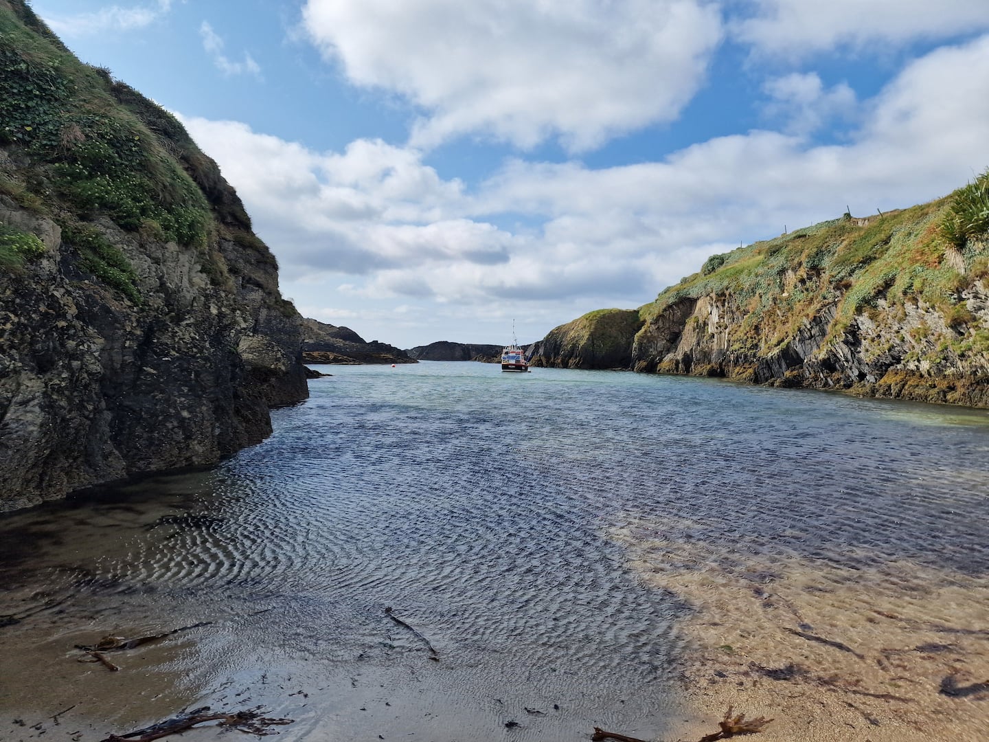 Enclosure in BallinreaEnclosure · 1511 yd
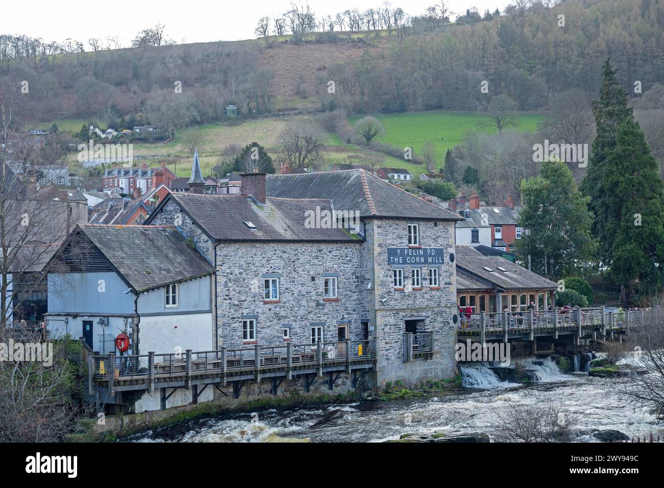 Corn Mill (in Ruins)Mill, corn · 1577 yd
 Ballea CastleCastle, tower house · 1.3 mi
 Pauper's GraveyardArchaeological place · 1.4 mi
 Castle Treasure (Site of)Castle, unclassified · 1.5 mi
 Cork WalksVisitor information · 4.6 mi
 Lavitts QuayMemorial · 4.7 mi
 Mount Hillary - Knightfield LoopWalking route · 26 mi
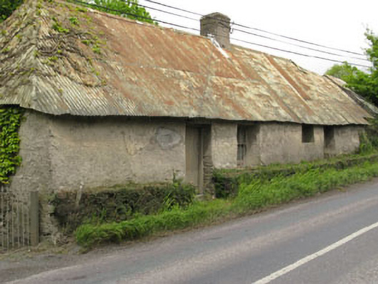 Historic buildingOfficially recorded historic building · 1612 yd
 Killanully church (in Ruins)Church · 1.0 mi