What is recorded here
Fairy fort / earthen ringfort in Ballinphull (carbury By., Cliffony North Ed) is a fairy fort or earthen ringfort in Ballinphull (carbury By., Cliffony North Ed), County Sligo, Ireland. The raised circular area spans twenty-one metres north-south and sits in rough pasture affording good views to the north. An earth and stone bank encloses the north, east and south, reaching four to five metres externally and two metres internally. The western bank portion was removed in 1989, leaving the original entrance unrecognisable.
In rough pasture affording good views to the N. Raised circular area (diam. 21m N-S) enclosed from N-E-S by a bank of earth and stone (Wth. 1m; int. H 2m; ext. H 4m - 5m). No fosse. The portion of the bank located in W half of the rath was removed in 1989. Original entrance not recognisable.
Compiled by: Patrick F. O'Donovan
Date of upload: 08 March 2013
The monument record does not grant public access. Check the route and ask the landowner before entering private land.
- What survives
- Recorded monument
Places near here
 IndicatedFairy fort / stone ringfort · 269 yd
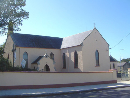 Saint Molaise's Catholic Churchchurch/chapel · 521 yd
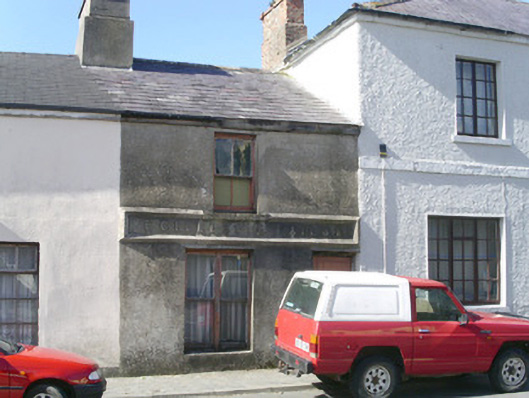 E. Gillespiebuilding misc · 573 yd
 CaveFairy fort / earthen ringfort · 935 yd
 Creevykeel Court TombNeolithic court tomb · 1.1 mi
 Trawalua StrandBeach / strand · 1.3 mi
 Classiebawn WoodsWood · 1.5 mi
 Unbaptised Children MonumentMemorial · 1.9 mi
 Gleniff Horseshoe DriveViewpoint · 2.5 mi
 Gleniff Horseshoe Drive 2Viewpoint · 2.5 mi
 BenwiskinMountain / peak · 2.7 mi
 assassination of Louis Mountbatten, 1st Earl Mountbatten of Burmaassassination · 2.8 mi