What is recorded here
No. of Entry: 317 Name: Fairy fort / earthen ringfort in Ballingoola Area: Limerick, Co. Townland: Ballingoola Type: Ringfort - rath Alternative Name: - Status: Not Visited Grading: Ungraded Date Recorded: 20/08/2003 12:00:00 Recorded By: C. O'Brien Last Amended: 20/08/2003 12:00:00 AMENDED BY: C. O'Brien
Listed by O'Kelly (1942-3, 180) as Earthwork, Type A. Situated on poorly drained grassland with drainage ditch immediately to N and stream 80m to W which forms townland boundary with Knockfennell. Described in 1943 as a 'circular platform of earth slightly raised over the level of an extensive marsh which surrounds it. There does not seem to have been a fosse, and the entrance is not recognisable. Its maximum height over the surface of the marsh is 3' 6" [1m] and its overall diameter is 126' [38.4m]' (O'Kelly 1942-3, 180). Outline of earthwork is clearly visible on Digital Globe aerial photographs.
Compiled by: Caimin O'Brien
Date of upload: 27 September 2018
The monument record does not grant public access. Check the route and ask the landowner before entering private land.
- What survives
- Recorded monument
Places near here
 Platform in KnockfennellPlatform · 308 yd
 BarrowBarrow, ring-barrow · 582 yd
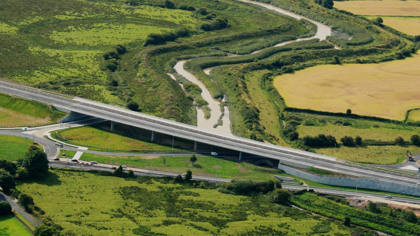 RoadRoad, road/trackway · 703 yd
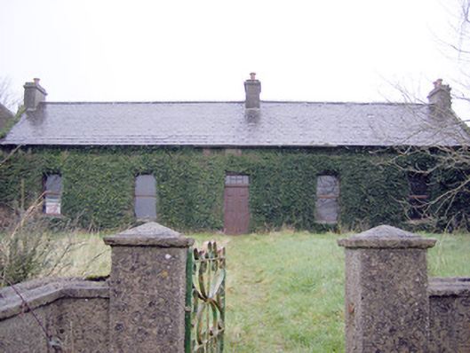 Lake Viewhouse · 757 yd
 The SpectaclesVisitor information · 1095 yd
 Lough Gur Heritage CentreVisitor information · 1222 yd
 OultinedBawn · 1305 yd
 Pedunculate OakPedunculate Oak · 1459 yd
 Garret IslandCastle, unclassified · 1684 yd
 Grange Stone CircleArchaeological place · 1.3 mi
 Lough GurVisitor information · 1.3 mi
 Banoge's WellSpring · 1.6 mi