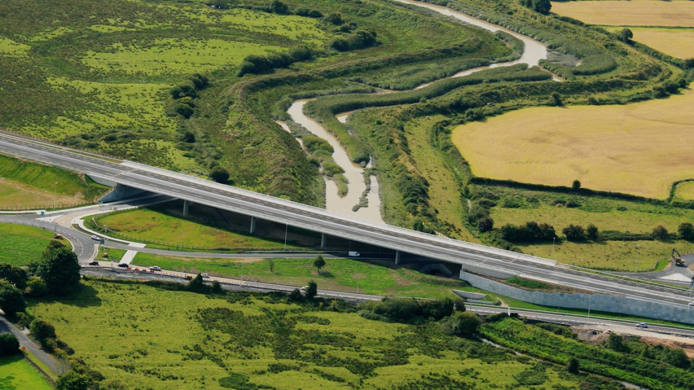
What is recorded here
According to O'Kelly (1942-3, 179-80) this standing stone (LI023-115----] in Ballingoola was one of seven (LI023-115/072/074/116/073/075-) in the townland which marked the route of an ancient road which ran 'from Lough Gur Cross (LI032-061----) to the northern barony boundary. Beyond this (in the barony of Clanwilliam) the line is marked by further three stones. These stones seem to mark the line of an ancient road or track. The track itself is visible only for a short distance in the townland of Ballingoola connecting stones No. 2 [LI023-072----] and 3 [LI023-116----] above and continuing for some little distance on each side of them. Just north of stone No. 2 [LI023-072----] the track runs across a field which was ploughed in 1941. The surface of the track was disturbed and showed as a broad band of limestone chippings cutting across the dark coloured soil' (O'Kelly 1942-3, 180).
Linear feature running roughly N-S between three standing stones (LI023-116/073-/075----) visible on OSi orthoimage taken between 2005-11 appears to represent the remains of this roadway.
Compiled by: Caimin O'Brien with details provided by Sarah McCutcheon
Date of upload: 4 October 2021
The monument record does not grant public access. Check the route and ask the landowner before entering private land.
- What survives
- Recorded monument
Places near here
 Enclosure in BallingoolaEnclosure · 127 yd
 Longford Bridgebridge · 660 yd
 IndicatedDesigned landscape feature · 729 yd
 MainistimambratherbegReligious house, Franciscan Third Order Regular · 957 yd
 OultinedBawn · 1032 yd
 The SpectaclesVisitor information · 1611 yd
 Lough Gur Heritage CentreVisitor information · 1725 yd
 Pedunculate OakPedunculate Oak · 1.1 mi
 Garret IslandCastle, unclassified · 1.3 mi
 Banoge's WellSpring · 1.4 mi
 Grange Stone CircleArchaeological place · 1.7 mi
 Lough GurVisitor information · 1.7 mi
Other information
Photo: Credit not shown in the picture search · Rights wording not checked; contact us if this picture should be removed