
What is recorded here
On flat pasture on the E side of a ridge. The site is located 250m W of the townland boundary with Ballingoola, 80m NE of the enclosure (LI023-064----) and 180m SW of a ringfort (LI023-068----). The barrow is not depicted on historic OSi maps but is faintly visible feature on Digital Globe orthoimage. Identified by Bruff aerial photographic survey in 1986 as ‘not clear on AP’ (Bruff 123; AP 4/3642). A faint circular ring–barrow defined by an external fosse (ext. diam. c. 11m) is visible on Google Earth orthoimages taken 16/03/2016 and 28/06/2018.
See attached Bruff survey image showing ring-barrow labelled Bruff 123 and Google Earth orthoimages
Compiled by: Edmond O’Donovan
Date of upload: 31 August 2020
The monument record does not grant public access. Check the route and ask the landowner before entering private land.
- What survives
- Recorded monument
Places near here
 Platform in KnockfennellPlatform · 411 yd
 Field system in Grange (smallcounty By.)Field system · 466 yd
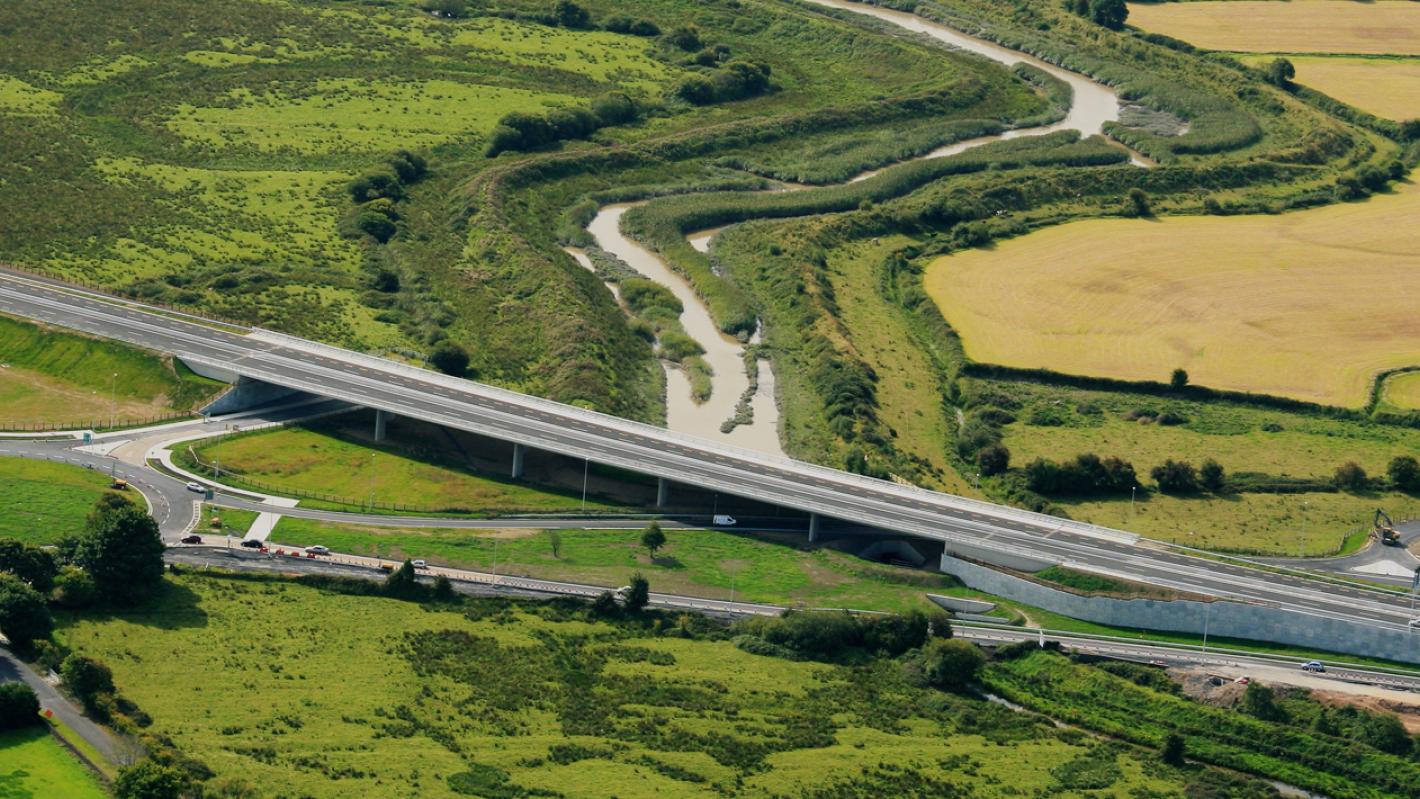 RoadRoad, road/trackway · 898 yd
 MainistimambratherbegReligious house, Franciscan Third Order Regular · 1081 yd
 The SpectaclesVisitor information · 1610 yd
 Lough Gur Heritage CentreVisitor information · 1738 yd
 OultinedBawn · 1.0 mi
 Pedunculate OakPedunculate Oak · 1.1 mi
 Garret IslandCastle, unclassified · 1.1 mi
 Grange Stone CircleArchaeological place · 1.3 mi
 Lough GurVisitor information · 1.3 mi
 Banoge's WellSpring · 1.4 mi
Other information
Photo: Credit not shown in the picture search · Rights wording not checked; contact us if this picture should be removed