What is recorded here
Half a metre high and twenty-five metres across, the fort sits atop an esker ridge like a button sewn onto the back of County Offaly. It has no visible entrance, suggesting the boundary was never meant for ordinary walking but for watching the horizon or being watched by it. The low bank still holds traces of stone revetment, proving human hands shaped the ridge long before surveyors gave it numbers.
On top of an esker ridge with extensive views in all directions with two nearby ringforts (OF009-007009; OF009-009----) to the W and S respectively. Circular raised platform (ext. H 0.5m; diam 25m E-W) enclosed by a low bank with evidence of stone revetment in its construction. No entrance feature visible.
The above description is derived from the published 'Archaeological Inventory of County Offaly' (Dublin: Stationery Office, 1997). In certain instances the entries have been revised and updated in the light of recent research.
Date of upload: 23 May 2011
The monument record does not grant public access. Check the route and ask the landowner before entering private land.
- What survives
- Recorded monument
Places near here
 Relic FortFairy fort / earthen ringfort · 611 yd
 BarrowBarrow, ring-barrow · 739 yd
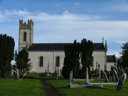 Saint Columba's Catholic Churchchurch/chapel · 982 yd
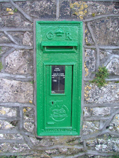 post boxpost box · 1062 yd
 Shancourt or MeeneglishCastle, unclassified · 1319 yd
 St. Columba's WellSpring · 1401 yd
 Durrow MoatCastle, motte · 1711 yd
 Durrow HillMountain / peak · 1.0 mi
 High WoodWood · 1.1 mi
 European ashEuropean ash · 2.1 mi
 Bonfire HillMountain / peak · 2.6 mi
 Grand Canal WayWalking route · 3.3 mi