What is recorded here
Fairy fort / earthen ringfort in Aughris (tireragh By.) is a fairy fort or earthen ringfort in Aughris (tireragh By.), County Sligo, Ireland. The slightly raised circular area measures about 22m across and retains an earthen bank along its western edge, though the eastern two-thirds have been levelled until the outline barely shows. A short fosse cuts the outer foot at north-west, where an opening leads into a man-made underground passage. Local information claims a stone sculpture was found inside that passage, and another rath stands about 100m to the south-west.
In pasture, located on a low elevation. Not marked on the 1837 edition of the OS 6-inch map. Slightly raised circular area (diam. c. 22m) enclosed at SW–NW by an earthen bank (Wth 3m; int. H 0.8m; ext. H 1.6m). At the outer foot of the bank at NW is a short length of fosse (Wth 2.4m; D 1m). The E two-thirds of the site have been levelled and its outline is barely discernible. Adjacent to the inner face of the bank at NW is an opening to a Man-made underground passage (SL012-122002-). There is another rath (SL012-019----) c. 100m to SW. According to local information, a stone sculpture (SL012-122003-) was found in the Man-made underground passage.
Compiled by: Patrick F. O'Donovan
Date of upload: 19 January 2011
The monument record does not grant public access. Check the route and ask the landowner before entering private land.
- What survives
- Recorded monument
Places near here
 Man-made underground passage in Aughris (tireragh By.)Man-made underground passage · 9 yd
 IndicatedFairy fort / earthen ringfort · 159 yd
 Aughris HeadHeadland · 1458 yd
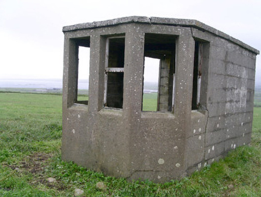 Aughris Head Look Out Post 67watch tower · 1503 yd
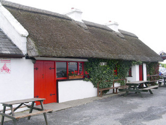 public housepublic house · 1613 yd
 Aughris BeachBeach / strand · 1.1 mi
 Dunmoran StrandBeach / strand · 1.9 mi
 CastleCastle, tower house · 2.5 mi
 DonaghHeadland · 3.1 mi
 Site of Dunneill CastleCastle, unclassified · 4.0 mi
 Knockalongy North-East TopMountain / peak · 4.7 mi
 KnockalongyMountain / peak · 5.0 mi