What is recorded here
A narrow road cut through the eastern bank of the Ardnageeha ringfort, leaving a ghostly circular shadow in the pasture grass. The fort spanned thirty metres across when surveyors first marked it in 1842, large enough for a household but small enough to hide inside the ordinary field. People may have lived there before the road arrived, tending animals or waiting out storms behind the earthen wall. The grass still grows differently along the buried line, revealing the shape of a home that ownership and memory have forgotten.
In level pasture. Depicted as hachured circular enclosure (diam. c. 30m) on 1842, 1904 and 1937 OS 6-inch maps, truncated on E side by roadway; lime kiln on S bank on 1842 OS 6-inch map. Levelled; circular area (diam. 32m) defined by scarp to S and NNE (H 0.25m) and by differential growth pattern showing line of levelled bank to W and N. Bank and external fosse visible as cropmark in aerial photograph (GSIAP, W402), with road to E truncating fosse.
The above description is derived from the published 'Archaeological Inventory of County Cork. Volume 4: North Cork' (Dublin: Stationery Office, 2000). In certain instances the entries have been revised and updated in the light of recent research.
Date of upload/revision: 14 January 2009
The monument record does not grant public access. Check the route and ask the landowner before entering private land.
- What survives
- Recorded monument
Places near here
 Burnt mound in Derragh (duhallow By.)Burnt mound · 143 yd
 Ardnageeha Househouse · 386 yd
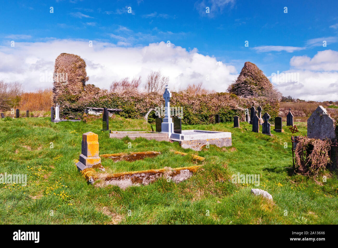 Ritual siteRitual site, holy/saint's stone · 1.0 mi
 R C ChapelChurch · 1.1 mi
 Dromsicane Castle (in Ruins)Bawn · 3.1 mi
 Drominagh Castle (Site of)Castle, unclassified · 3.7 mi
 Millstreet Museum & Tourist Information CentreMuseum · 4.6 mi
 Millstreet Tourist InformationVisitor information · 4.6 mi
 Claragh Loop (Trailhead 99)Visitor information · 4.7 mi
 Nohaval WoodWood · 4.8 mi
 RowanRowan · 5.5 mi
 CurracahillMountain / peak · 6.4 mi