What is recorded here
Visible as a circular feature on aerial photograph (GSIAP: M 669-8), and situated on the crest of the E-facing slope of a NE-SW drumlin ridge. Subcircular grass-covered area (dims 37m E-W; 31m N-S) defined by a low scarp (H 0.3-0.6m). Rath (RO010-022----) is c. 130m to the N.
Compiled by: Michael Moore
Date of upload: 24 August 2010
The monument record does not grant public access. Check the route and ask the landowner before entering private land.
- What survives
- Recorded monument
Places near here
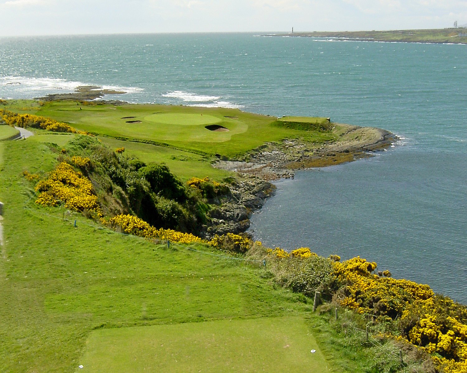 Embanked enlcosureFairy fort / earthen ringfort · 183 yd
 Penal Mass station in MacnadillePenal Mass station · 441 yd
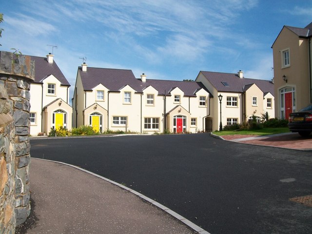 Embanked enclosureFairy fort / earthen ringfort · 593 yd
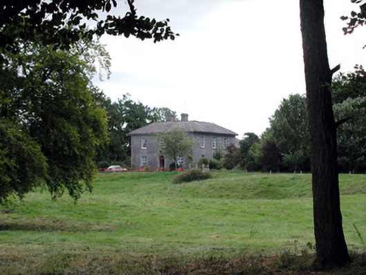 Glencarne Househouse · 1.8 mi
 Hughestown WoodForest · 2.1 mi
 Moylung Castle (in ruins)Castle, unclassified · 2.3 mi
 Castle (Site of)Castle, unclassified · 2.5 mi
 Moon RiverHeritage attraction · 3.6 mi
 Horse-chestnutHorse-chestnut · 3.9 mi
 Trinity IslandIslet · 4.7 mi
 Bingham IslandIslet · 4.9 mi
 Battle of Áth an Chipbattle · 5.9 mi