What is recorded here
Fairy forts and raths were never about fairies. They were human places, often old, where land, memory and power touched. People built or repeated them because they believed the site mattered. That is still true, even when the bones have vanished.
Situated on a low broad hill. Depicted faintly as a small embanked feature (ext. diam. c. 33m) described as a ‘fort’ on the 1834 edition of the OS 6-inch map and as a hachured feature (ext. diam. c. 40m) on the 1907 edition of the map. It was described locally as a circular area with a slight bank that had been ploughed out of existence. It is not visible at ground level in pasture.
The above description is derived from the published 'Archaeological Inventory of County Monaghan' (Dublin: Stationery Office, 1986). In certain instances the entries have been revised and updated in the light of recent research.
Date of revision: 27 June 2017
The monument record does not grant public access. Check the route and ask the landowner before entering private land.
- What survives
- Recorded monument
Places near here
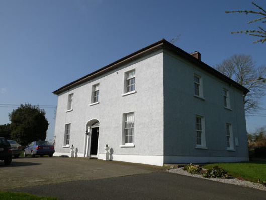 Annahean Househouse · 218 yd
 Flat cemetery in AnnaheanFlat cemetery · 613 yd
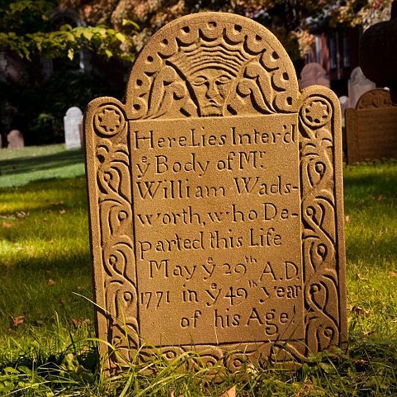 Ancient Burying GroundEcclesiastical enclosure · 623 yd
 CastleCastle, motte and bailey · 988 yd
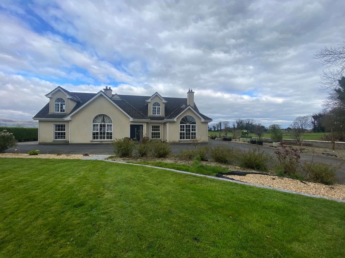 Man-made underground passage in AclintMan-made underground passage · 1018 yd
 Lagan Bridgebridge · 1669 yd
 Lagan castleCastle, tower house · 1731 yd
 Matthew's HillMountain / peak · 3.0 mi
 Yellow HillMountain / peak · 4.5 mi
 Long PlantationForest · 4.5 mi
 Monkey-puzzleMonkey-puzzle · 4.7 mi
 Sir Frederick Foster MemorialMemorial · 6.1 mi