What is recorded here
Mortons and others lived beside the fort, but nobody knows when the building stopped being a home and started being a warning. That change is the interesting part. A useful place can become dangerous when people stop understanding the reason it exists. The fort still stands because the warning is still true.
The following description is derived from both the published 'Archaeological Inventory of County Louth' (Dublin: Stationery Office, 1986) and the 'Archaeological Survey of County Louth' (Dublin: Stationery Office, 1991). In certain instances the entries have been revised and updated in the light of recent research.
Date of upload/revision: 17 July 2007
Sub-circular area (int. dims. 34.5m N-S, 30m E-W) enclosed by degraded earthen bank (Wth 5m; H 0.9m internally, 1.6m externally) with slight traces of external fosse (Wth 2m) from S-NW. Entrance gap (Wth 2.9m) at SE.
The monument record does not grant public access. Check the route and ask the landowner before entering private land.
- What survives
- Recorded monument
Places near here
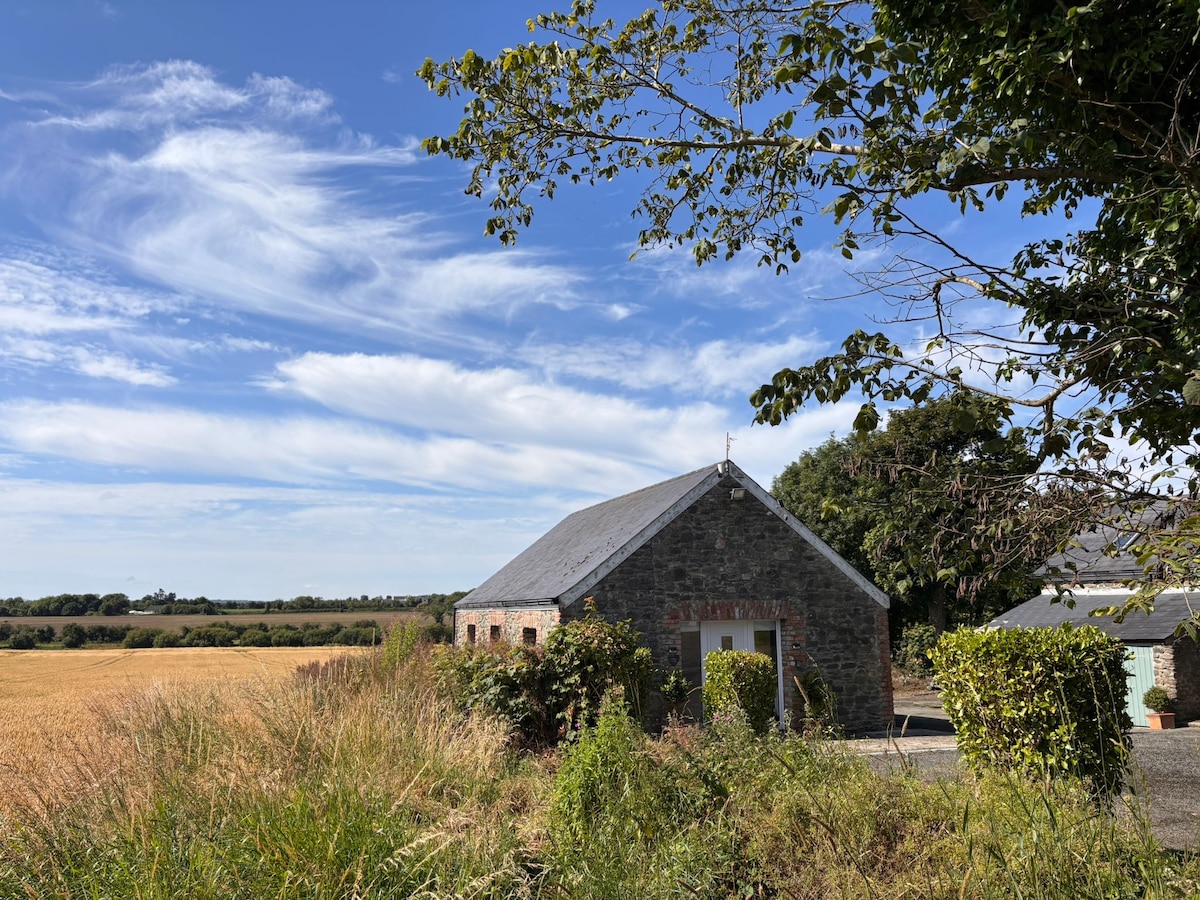 Enclosure in AnnaghvackyEnclosure · 844 yd
 Man-made underground passage in CarrickastuckMan-made underground passage · 1014 yd
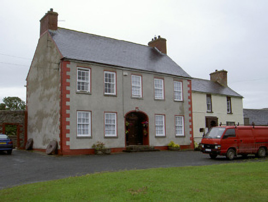 Clonaleenaghan Househouse · 1390 yd
 CastleCastle, unclassified · 1.1 mi
 Bawn in Shortstone EastBawn · 1.7 mi
 Slieve Cottagefarm house · 1.8 mi
 Ballsmill Amenity LandPicnic place · 2.4 mi
 Sky HillMountain / peak · 2.6 mi
 MEDIEVAL & POST-MED. CHURCH & GRAVEYARD in Creggan Bane GlebeMEDIEVAL & POST-MED. CHURCH & GRAVEYARD · 3.7 mi
 Battle of Newry Roadbattle · 4.1 mi
 Irish Hunger StrikersMemorial · 4.3 mi
 Mass Rock Loop TrailWalking route · 4.4 mi