What is recorded here
Fairy fort in Aghnasillagh, County Longford: a 25m earthen ring on a sunny slope, its entrance forgotten, half its border swallowed by a field wall. It is the kind of place where ordinary animals stop and listen, not because they are stupid but because the ground still holds the shape of a door.
On a gentle SE-facing slope in pasture. A report in 1976 (SMR file) recorded a raised circular area (diam. c. 25m) enclosed by a low bank of earth and stone with a shallow external fosse. From S-SW-W the bank and fosse have been incorporated into a NW-SE field boundary. Elsewhere they have been levelled and the defining element is a low scarp (H 0.2-0.4m). The original entrance is not recognisable.
Compiled by: Patrick F. O'Donovan
Date of upload: 26 August 2011
The monument record does not grant public access. Check the route and ask the landowner before entering private land.
- What survives
- Recorded monument
Places near here
 Burnt spread in BallycloghanBurnt spread · 785 yd
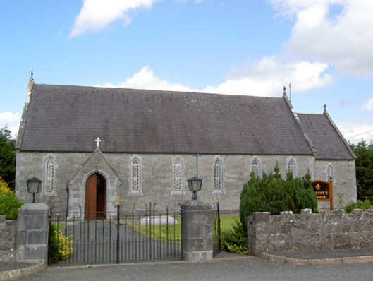 Saint Anne's Catholic Churchchurch/chapel · 910 yd
 Druming Ho. (in ruins)Castle, unclassified · 1532 yd
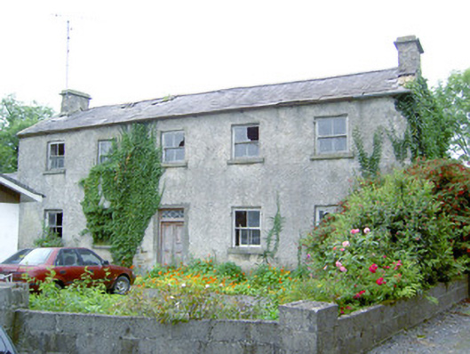 Keel Househouse · 1567 yd
 Font in DrumingFont · 1707 yd
 CastleCastle, motte · 1.4 mi
 National Famine WayWalking route · 2.2 mi
 Common LimeCommon Lime · 5.0 mi
 Abbeyshrule AbbeyRuins · 5.0 mi
 Graveyard in Curry (ardagh By., Coolamber Ed)Graveyard · 5.4 mi
 Leveret IslandIslet · 10 mi
 InchbofinIslet · 11 mi