What is recorded here
On a gentle E-facing slope. A raised roughly oval area (33.5m NNW-SSE; 29.5m ENE-WSW) enclosed from E-S-SSW by a scarp (H 1.2m). Elsewhere the perimeter has been modified and incorporated into a field boundary. There is no trace of a fosse. A depression (Wth 3.2m) in the scarp at E may mark the original entrance.
Compiled by: Patrick F. O'Donovan
Date of upload: 26 August 2011
This remains an important historical record, but the official description says the monument is no longer visible or has been destroyed. The monument record does not grant public access. Check the route and ask the landowner before entering private land.
- What survives
- No visible remains or recorded as destroyed
Places near here
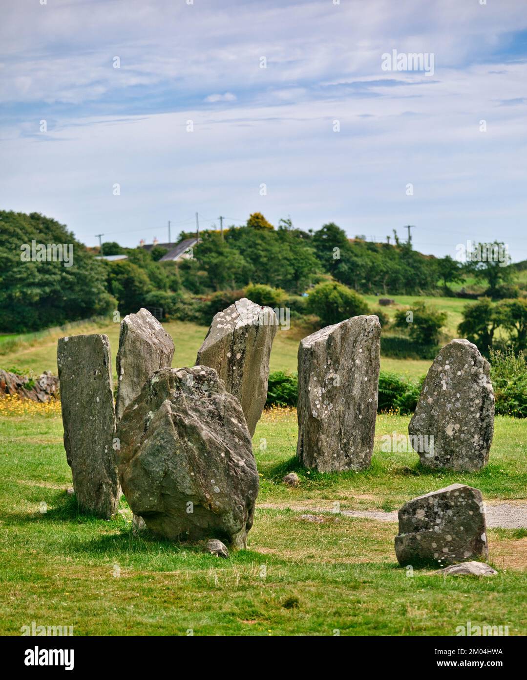 Druids AltarMegalithic tomb · 280 yd
 Burnt mound in AghnagarronBurnt mound · 628 yd
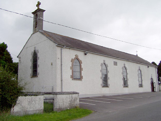 Saint Mary's Catholic Churchchurch/chapel · 919 yd
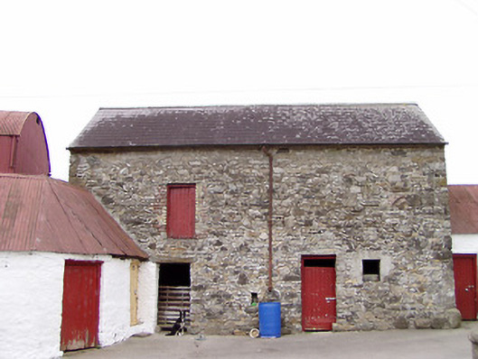 Columbia Houseoutbuilding · 1118 yd
 CartronfreeMountain / peak · 1.3 mi
 Bakers FortCastle, ringwork · 1.5 mi
 1798 Monumentmonument · 1.7 mi
 Granard MotteMotte-and-bailey castle remains · 1.8 mi
 CastleCastle, unclassified · 1.8 mi
 ToomeMountain / peak · 3.0 mi
 Derrycassan WoodsWood · 3.2 mi
 Moynagh Upper ForestForest · 3.6 mi