
What is recorded here
The remains of a low mound (dims. 9m N–S by 11.2m E–W) were exposed in the course of monitoring an afforestation project. It consisted of a burnt layer of blackened soil and head-shattered stones (30mm – 130mm thick) that was visible below the peaty topsoil, 0.09m – 0.20m below the ground surface (pers. comm. Richard Crumlish, 23 April 2015).
Compiled by: Paul Walsh
Date of upload: 23 April 2015
Burnt mound in Aghnagarron is a Bronze Age ritual or industrial site, characterised by a layer of heat-altered stones and soil. Its significance lies in providing evidence of early land use and possible ceremonial activity in the region.
The monument record does not grant public access. Check the route and ask the landowner before entering private land.
- What survives
- Recorded monument
Places near here
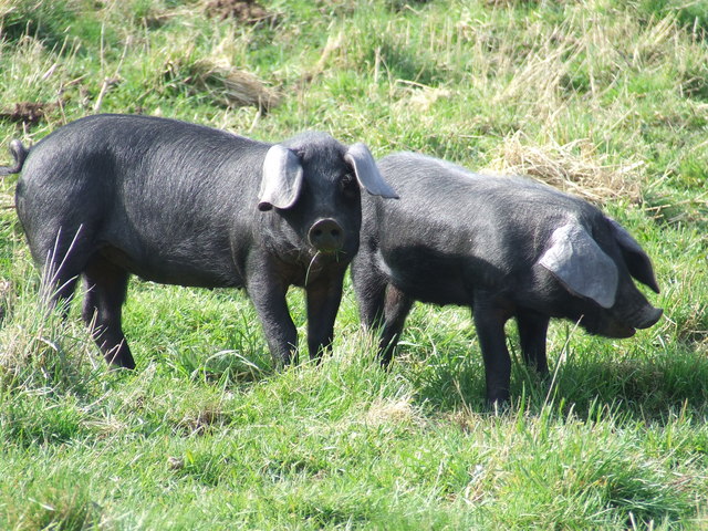 Dunclá or Black Pigs RaceArchaeological place · 195 yd
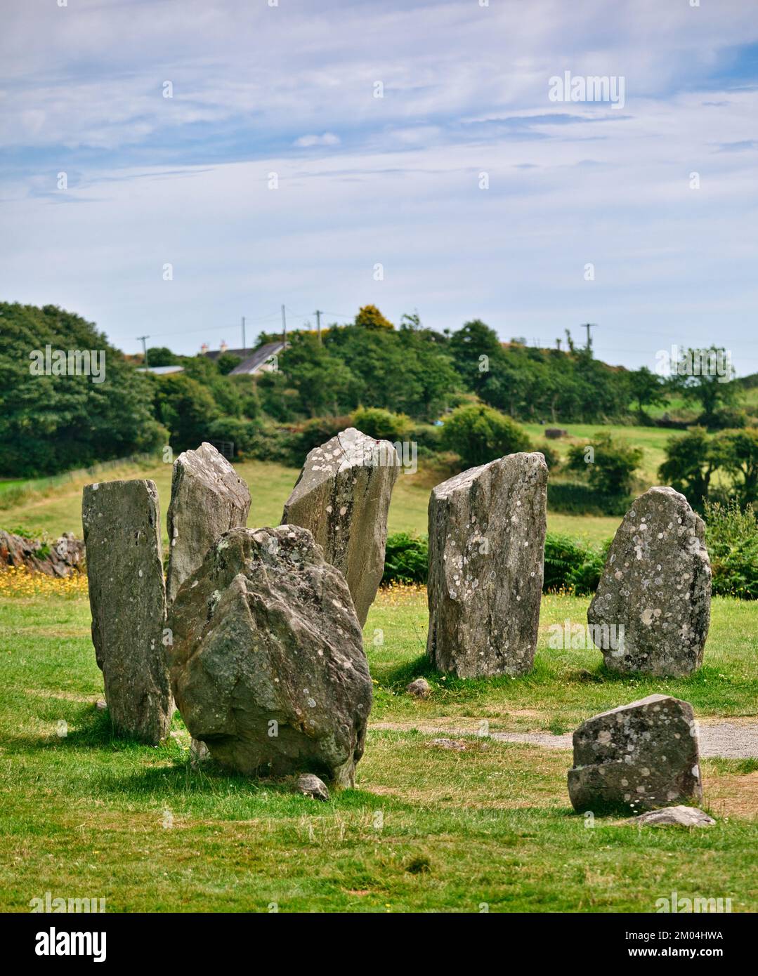 Druids AltarMegalithic tomb · 863 yd
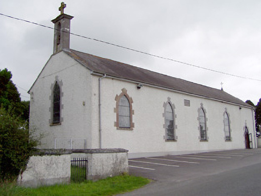 Saint Mary's Catholic Churchchurch/chapel · 964 yd
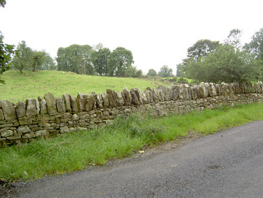 gates/railings/wallsgates/railings/walls · 1150 yd
 Bakers FortCastle, ringwork · 1.3 mi
 1798 Monumentmonument · 1.4 mi
 Granard MotteMotte-and-bailey castle remains · 1.5 mi
 CastleCastle, unclassified · 1.5 mi
 CartronfreeMountain / peak · 1.7 mi
 Derrycassan WoodsWood · 3.0 mi
 ToomeMountain / peak · 3.1 mi
 InchmoreIslet · 3.7 mi
Other information
Photo: Credit not shown in the picture search · Rights wording not checked; contact us if this picture should be removed