What is recorded here
On a rise in relatively well-drained pasture. This tall, wide, thin slab (H 1.7m; Wth 1.3m; T 0.2m) is aligned N-S. There are a number of small packing-stones at its base. A hut site (LF010-119----) is located c. 110m to the NW. (English 1971, 153; O'Donovan 2003, 22)
Compiled by: Patrick F. O'Donovan
Date of upload: 14 December 2012
Probably dating to the Late Neolithic or Bronze Age, this standing stone may have had ceremonial or territorial significance, possibly linked to the nearby hut site. Its north-south alignment could reflect astronomical or ritual orientation, though specific folklore or use remains unrecorded.
The monument record does not grant public access. Check the route and ask the landowner before entering private land.
- What survives
- Recorded monument
Places near here
 Megalithic structure in DalystownMegalithic structure · 130 yd
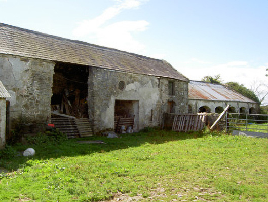 Dalystown Houseoutbuilding · 461 yd
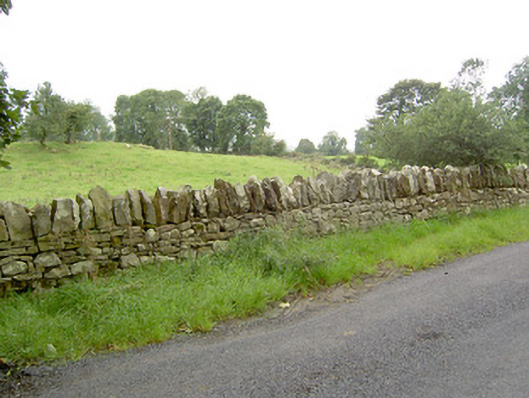 gates/railings/wallsgates/railings/walls · 475 yd
 Enclosure in DalystownEnclosure · 569 yd
 Bakers FortCastle, ringwork · 1.7 mi
 1798 Monumentmonument · 1.8 mi
 Granard MotteMotte-and-bailey castle remains · 1.8 mi
 CastleCastle, unclassified · 1.8 mi
 CartronfreeMountain / peak · 1.9 mi
 Derrycassan WoodsWood · 2.4 mi
 ToomeMountain / peak · 2.8 mi
 InchmoreIslet · 3.0 mi