What is recorded here
Aghinilard, County Monaghan. McCrea charted an earthwork there in 1793, yet no one now points to the exact ring. The soil keeps its own counsel. What is certain is that the field once held a boundary bold enough to draw, and that boundary has withdrawn into the grass.
An earthwork enclosure is depicted at Aghinilard on McCrea’s map of Co. Monaghan (1793). Its exact location and identity is not known but it could be the rath (MO030-032----).
Date of upload: 14 April 2011
The monument record does not grant public access. Check the route and ask the landowner before entering private land.
- What survives
- Recorded monument
Places near here
 Fairy fort / earthen ringfort in AghinillardFairy fort / earthen ringfort · 126 yd
 Not inidicatedMan-made underground passage · 126 yd
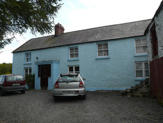 farmyard complexfarmyard complex · 313 yd
 farm housefarm house · 1473 yd
 Drumerlough MoreMountain / peak · 1.6 mi
 NorthlandsWood · 2.0 mi
 RaferaghMountain / peak · 2.2 mi
 European BeechEuropean Beech · 2.8 mi
 Giants GraveArchaeological place · 3.3 mi
 Castle ruinsCastle, unclassified · 3.5 mi
 Bawn in LisdrumskeaBawn · 4.3 mi
 Bush IslandIslet · 4.6 mi