What is recorded here
Aghagolrick in County Cavan holds a large oval earthwork with a broken south-east entrance, marking a place where people once gathered, defended themselves or performed rituals under open skies. The fairies may have taken the name, but humans shaped the soil, dug the ditch and lived beside the field.
Raised oval area (int. diam. 48.2m ENE-WSW; 39.2m NNW-SSE) enclosed by the remains of an earthen bank and fosse. Break in bank at SE probably represents original entrance.
The above description is derived from the published 'Archaeological Inventory of County Cavan' (Dublin: Stationery Office, 1995). In certain instances the entries have been revised and updated in the light of recent research.
Date of upload/revision: 22 December 2008
A fairy fort or earthen ringfort in Aghagolrick is a likely early-medieval defensive or domestic site, characterized by a raised oval enclosure with a bank and fosse. Local tradition associates such sites with fairy lore, often avoiding them out of fear of supernatural encounters.
The monument record does not grant public access. Check the route and ask the landowner before entering private land.
- What survives
- Recorded monument
Places near here
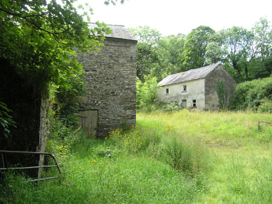 mill (water), miller's housemill (water), miller's house · 470 yd
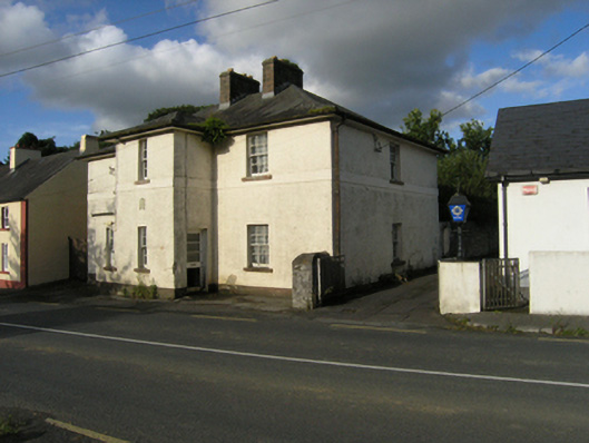 Stradone Garda Síochána Stationgarda station/constabulary barracks · 530 yd
 To The Memory of P.J. DukeMemorial · 607 yd
 Killymeehan ForestForest · 820 yd
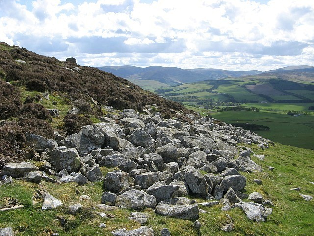 Black FortFairy fort / earthen ringfort · 1015 yd
 Church (Site of)Church · 1559 yd
 Foundation Stone Blessed by Pope John Paul II 1979Memorial · 1.1 mi
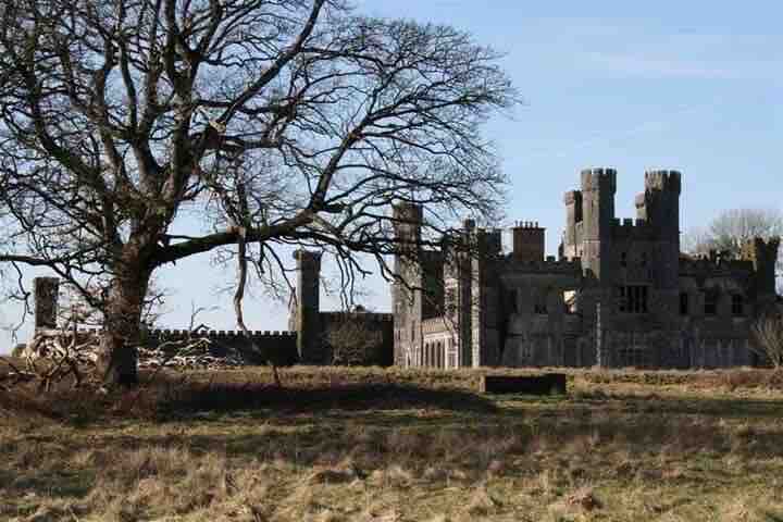 RavenswoodForest · 1.4 mi
 CliffernaMountain / peak · 2.6 mi
 Aghalackan EastMountain / peak · 2.7 mi
 Raven's RockNamed rock · 3.6 mi
 CastleCastle, unclassified · 5.0 mi