What is recorded here
Fairy fort / earthen ringfort in Adamstown (moycashel By.) is a fairy fort or earthen ringfort in Adamstown (moycashel By.), County Westmeath, Ireland. A 1984 survey recorded the site as densely overgrown and identified it as a circular enclosure defined by a low earthen bank with a stone facing. The stone facing was clearly visible from south-southwest through west to north-northwest, while faint traces of a wide external fosse could be followed from north through north-northwest to northwest.
Monument surveyed by the ASI in 1984 and described as 'the site remains densely overgrown. It appears to be a circular enclosure defined by a low earthen bank with a stone facing. The stone facing is clearly visible from SSW-W-NNW. Faint traces of a wide external fosse can be followed from N-NNW-NW. The monument appears to be a ringfort and the location of a low rise in undulating pasture land would be suitable' (SMR File 06/09/1984).
Compiled by: Caimin O'Brien
Date of upload: 12 February 2013
The monument record does not grant public access. Check the route and ask the landowner before entering private land.
- What survives
- Recorded monument
Places near here
 Kilbride ChurchChurch · 321 yd
 Ecclesiastical enclosure in Adamstown (moycashel By.)Ecclesiastical enclosure · 347 yd
 Adamstown Castle (in Ruins)Castle, tower house · 1079 yd
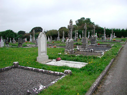 Saint Michael's Cemeterygraveyard/cemetery · 1111 yd
 Dotted outlineFairy fort / earthen ringfort · 1119 yd
 Site of CastleCastle, tower house · 1349 yd
 Hill of UisneachMountain / peak · 3.7 mi
 Sam's ParkForest · 3.8 mi
 European ashEuropean ash · 4.0 mi
 St. Columba's WellSpring · 8.3 mi
 Moate HillMountain / peak · 9.5 mi
 Charles BianconiMemorial · 9.6 mi