
What is recorded here
From the National Monuments Service (Archaeological Survey of Ireland) record LA002-014
Places near here
Photo credits
- Maker not stated on source page, www.dreamstime.com
- Maker not stated on source page, commons.wikimedia.org
- Digital Eye, Wikimedia Commons · CC BY-SA 4.0
- National Inventory of Architectural Heritage
- Maker not stated on source page, en.wikipedia.org
- Maker not stated on source page, wanderyourway.com
- Jonathan Thacker, Geograph · Creative Commons Attribution-ShareAlike 2.0
- Maker not stated on source page, ru.pinterest.com
- Maker not stated on source page, theirishaesthete.com
 Carrigeen church (in Ruins), GraveyardCross-slab · 1192 yd
Explorer Tom The whole parish argued for decades about this specific cross-slab, almost coming to blows over it. It now hides inside…
 Ardara BridgeRuins · 1.2 mi
Explorer Tom Ardara Bridge in County Offaly is recorded as ruins, but it looks more like a bridge that gave up halfway and went for…
 Bridge in CadamstownBridge · 1.2 mi
Explorer Tom Bridge in Cadamstown is being judged by rabbits. They think it looks like a fancy loaf of bread for giants. It survived…
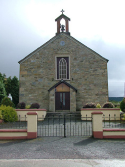 Saint Luna's Catholic ChurchChurch/chapel · 1.4 mi
Explorer Tom Saint Luna's Catholic Church in Cadamstown has carved stones that look like they’ve seen some serious stuff over a…
 Stone head in CadamstownStone head · 1.4 mi
Explorer Tom Stone head in Cadamstown was used as a corbel, so it spent centuries holding up a church wall while judging everyone…
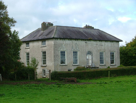 Cadamstown HouseCountry house · 1.4 mi
Explorer Tom Cadamstown House has been feuding with the rain since the Manifold family planted their flags there. It looks like it’s…
 Inauguration stone (present location) in CadamstownInauguration stone (present location) · 1.5 mi
Explorer Tom Inauguration stone in Cadamstown is a big boulder that kings probably stood on to get their crowns. The seagulls around…
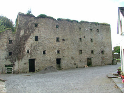 mill (water)1.5 mi
Explorer Tom Mill in Cadamstown is where the Vikings got lost looking for a bathroom, according to local rumour. It milled flour and…
 Church (in Ruins)Church · 1.5 mi
Explorer Tom Church in Letter in County Offaly had a fox take charge of the place during a particularly boring Tuesday afternoon.…
 ToberlugnaHoly well · 1.6 mi
Explorer Tom Toberlugna in Letter is half a wall and full of mystery. It stands next to a church, pretending it’s not tired of being…
 CastleCastle, unclassified · 2.0 mi
Explorer Tom Castle in Ballykelly is complaining to the council that it’s been misfiled for centuries. It thinks it belongs next…
 Castle Cuffe (in ruins)House, fortified house · 2.3 mi
Explorer Tom Bawn in Castlebrack has a retirement plan involving doing absolutely nothing until the cows come home. It’s been…
More archaeology and monuments in County Laois · All of County Laois

What do you know about this place?Tap to add a comment or ask a question