What is recorded here
Situated on a gentle S-facing slope. Archaeological monitoring (17E0038) by J. Olney of the development works associated with a windfarm extending over a wide area (max. dims c. 1.3km NE-SW; c. 1km NW-SE) identified three archaeological areas which were all resolved under the original licence. This is a small pit (dims 1.02m E-W 0.79m N-S; D 0.24m) with three fills. It produced 56 flints, largely flakes, but there was also a bipolar flake, three convex end-scrapers, two bipolar cores, two platform blades and an edge-retouched blade. A second pit (dims 1.25m E-W; 0.56m N-S; D 0.34m) with three fills of brown silty clay was 5.5m to the E but it was truncated and no artefacts were recovered from it. The hearth and pit (ME001-013002-) are c. 30m to the S (Olney and Bartlett 2020, 16-18)
Compiled by: Michael Moore
Date of upload; 26 February 2021
The monument record does not grant public access. Check the route and ask the landowner before entering private land.
- What survives
- Recorded monument
Places near here
 TeevurcherMountain / peak · 305 yd
 Fulacht fia in AgheraghFulacht fia · 379 yd
 IndicatedConcentric enclosure · 526 yd
 Blackhills LowerMountain / peak · 1751 yd
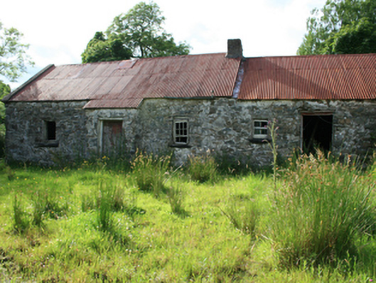 farm housefarm house · 1.1 mi
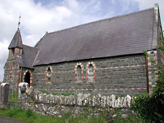 Saint Columba's Church (Moybolgue)church/chapel · 1.3 mi
 Tullynaskeagh EastForest · 1.5 mi
 MoatCastle, motte and bailey · 1.5 mi
 LoughanleaghForest · 2.0 mi
 Castle in ruinsCastle, unclassified · 2.8 mi
 Fair of MuffMemorial · 2.9 mi
 In Memory of Patrick KiernanMemorial · 4.3 mi