What is recorded here
Excavation at Moynalty revealed fourteen hidden features, including two shallow pits and a long gully, on a slope beside the Owenroe or Moynalty River. The discovery emerged while engineers prepared an entry lane for a water treatment plant, pulling prehistoric life back into the light. A flint blade and fragments of ancient pottery suggest people once lived at the edge of a larger settlement, perhaps cooking, storing or marking boundary near the water. The nearby burnt mound still stands as a reminder that heat and transformation belong to this place.
Located on a slope down to the E bank of a N-S section of the Owenroe or Moynalty River. Archaeological monitoring (07E0942) of a water scheme at Moynalty identified prehistoric features on a proposed entry lane to a water treatment plant. There were 14 features including 2 pits (dims 0.7m x 0.6m; D 0.1m: 1.2m x 1.06m, D 0.14m) and a gully (Wth 1.2m D 0.48m; L 6m plus), which were probably at the edge of more complex settlement features. Few artefacts were recovered but a flint blade and two pieces of prehistoric pottery were found. The burnt mound (ME011-051002-) is c. 55m to the SW. (Clutterbuck 2009, 10-12; 2011)
Compiled by: Michael Moore
Date of upload: 3 April, 2019
The monument record does not grant public access. Check the route and ask the landowner before entering private land.
- What survives
- Recorded monument
Places near here
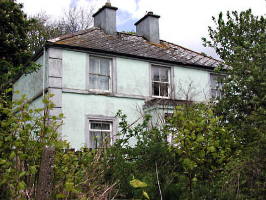 Riverviewhouse · 193 yd
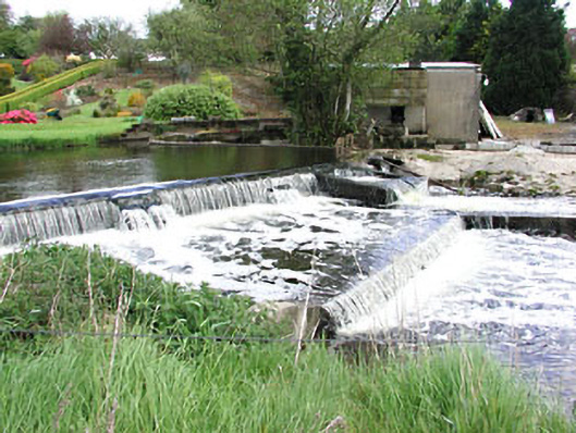 weirweir · 413 yd
 Reillystown FortArchaeological place · 474 yd
 Moynalty Steam Threshing MuseumMuseum · 629 yd
 Blockisland WoodWood · 631 yd
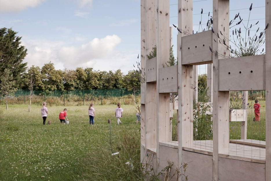 Moynalty Hedge SchoolArchaeological place · 731 yd
 Saltford FortWood · 782 yd
 Castle (in Ruins)Castle, unclassified · 1716 yd
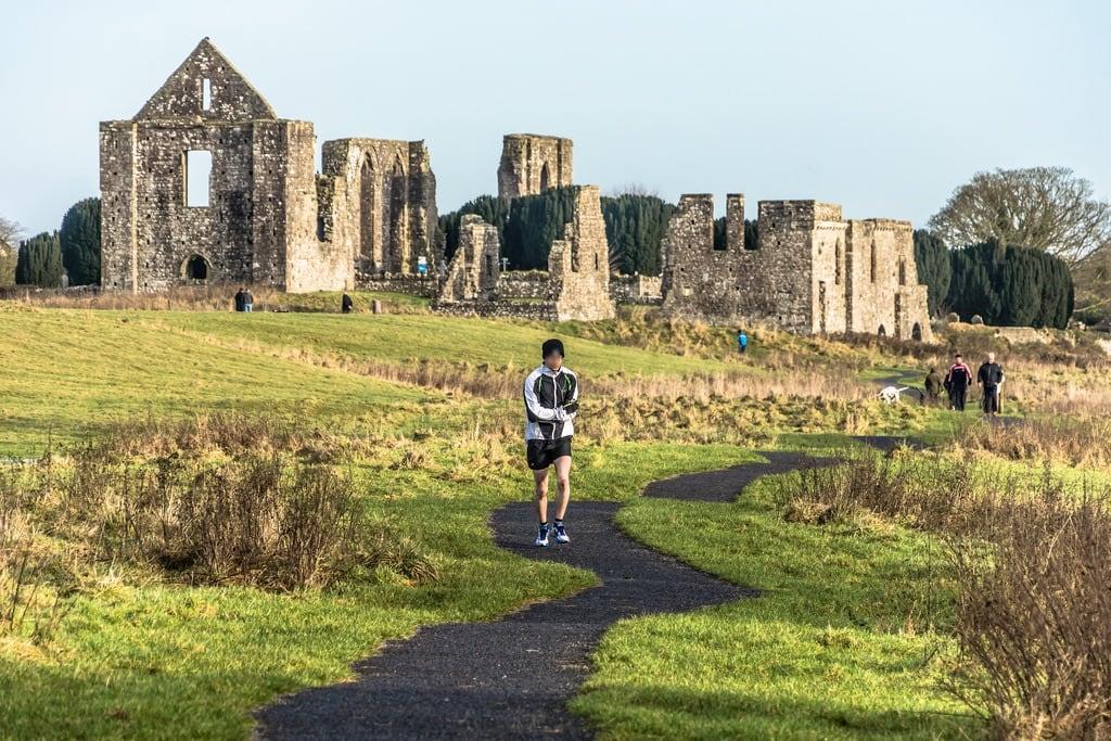 NewtownMountain / peak · 1.0 mi
 CastleCastle, motte · 2.0 mi
 DeerparkMountain / peak · 2.3 mi
 John Mac MahonMemorial · 2.6 mi