
What is recorded here
Walterstown Castle fell into ruin before John Betah claimed its twenty-two acres in 1640, reducing a once proud stronghold to mere foundations beside a few humble cabins. The Betah family dominated Moynalty parish, treating the decaying stone as little more than boundary marker for their extensive landholdings rather than a living home. Today rectangular foundations hide beneath deciduous trees on a prominent hill, waiting for someone to imagine the shadows that danced inside them before rot and neglect erased their walls.
A castle at Walterstown (111) in Moynalty parish is not depicted on the Down Survey (1656-8) barony or parish maps (http://downsurvey.tcd.ie/) but according to the Civil Survey (654-6) John Betah of Walterstown owned 220 acres there in 1640 together with ‘an old ruinate castle and a few cabins’ (Simington 1940, 300). John also owned land at Rathdrumnoe (Rathmanoo) and Rathstephen, and other members of the family owned almost all of Moynalty parish (ibid. 299-302). It is marked only on the 1908 ed. of the OS 6-inch map where it is described as the site of a castle. It is situated at the summit of a prominent hill. The foundations of a rectangular structure (int. dims 13.5m E-W; 8m N-S) survive in a deciduous wood.
The above description is derived from the published 'Archaeological Inventory of County Meath' (Dublin: Stationery Office, 1987). In certain instances the entries have been revised and updated in the light of recent research.
Compiled by: Michael Moore
Date of revision: 8 June 2016
The monument record does not grant public access. Check the route and ask the landowner before entering private land.
- What survives
- Recorded monument
Places near here
 Garryard WoodWood · 80 yd
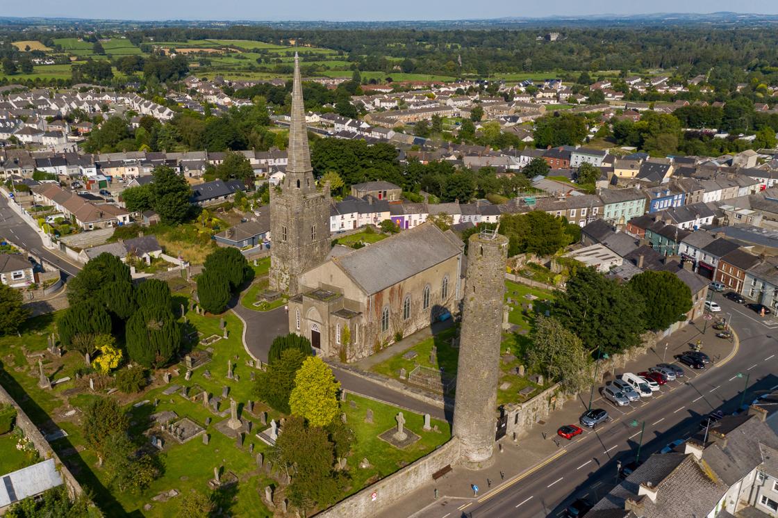 IndicatedFairy fort / earthen ringfort · 513 yd
 Freegard WoodWood · 598 yd
 Reillystown FortArchaeological place · 1327 yd
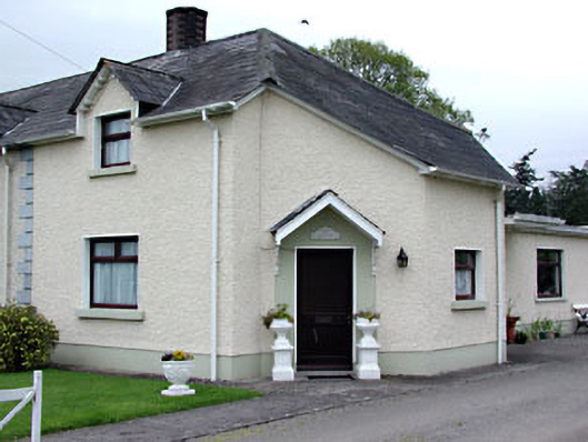 The Dreamhouse · 1482 yd
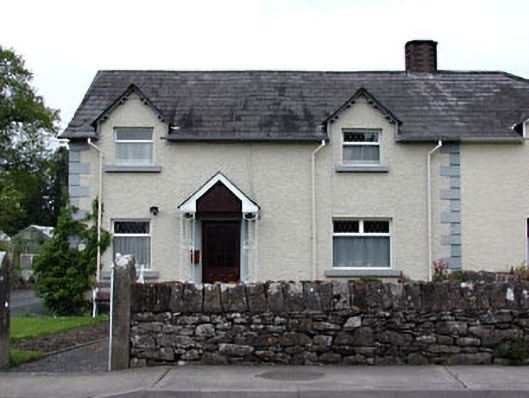 Holly Househouse · 1488 yd
 Moynalty Steam Threshing MuseumMuseum · 1.0 mi
 CastleCastle, motte · 1.1 mi
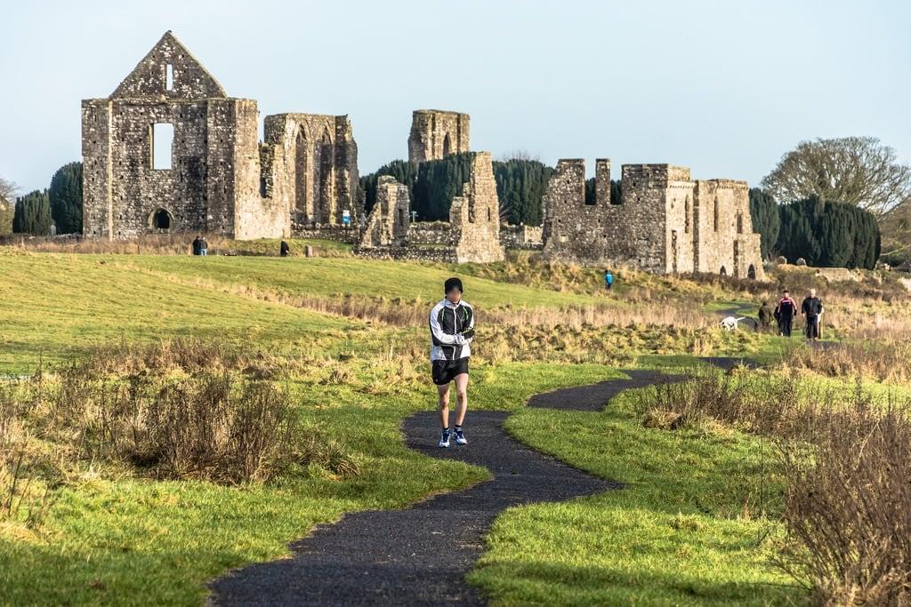 NewtownMountain / peak · 1.4 mi
 UghtyneillMountain / peak · 1.7 mi
 Moat of KilbegCastle, motte and bailey · 2.3 mi
 Owenroe and Moynalty DrainageMemorial · 2.5 mi
Other information
Photo: Credit not shown in the picture search · Rights wording not checked; contact us if this picture should be removed