What is recorded here
From OpenStreetMap (© OpenStreetMap contributors) w1266954938
Places near here
Photo credits
- National Inventory of Architectural Heritage
- Miguel Angel Masegosa Martínez, Wikimedia Commons · CC BY 2.0
- Garry Dickinson, Geograph · CC BY-SA 2.0
- Mike Searle, Geograph · CC BY-SA 2.0
- XNukes, Wikimedia Commons · CC BY-SA 4.0
- Maker named on the Wikimedia Commons picture page · CC BY-SA 3.0
- RonanMcCormick, Wikimedia Commons · CC BY-SA 4.0
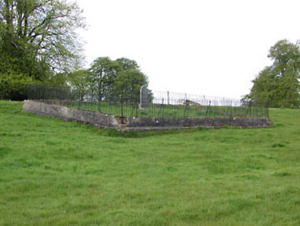 graveyard/cemetery512 yd
Explorer Tom Graveyard in Donore is on the wrong side of the river for most people. A cow once tried to buy the plot, believe it or not. Ten minutes here and you’ll feel strangely enlightened, I swear!
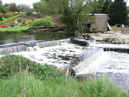 weir542 yd
Explorer Tom Weir in Donore would tell a teenager it was busy grinding flour before they invented Wi-Fi. The sluice gates still look like they mean business. Hang around for ten minutes and you’ll hear the water complaining about its job.
MaperathMountain / peak · 2.1 miMountainpoleMountain / peak · 2.3 mi Sweet Chestnut2.5 mi
Explorer Tom Sweet Chestnut in County Meath would make Saint Patrick choke on his asparagus. It's too sweet for its own good, like a toddler with a lollipop. Stand still and listen, the wind tells it better than me.
John Mac MahonMemorial · 2.7 mi Moat of KilbegCastle, motte and bailey · 2.7 mi
 IndicatedHouse, fortified house · 3.5 mi
 Spire of LloydMonument · 3.6 mi
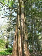 Dawn Redwood3.9 mi
Explorer Tom Dawn Redwood in County Meath has a bird that refuses to leave even when it’s snowing, which is frankly rude for everyone else. It looks like it fell out of a prehistoric movie set. Tell the next person you meet it's haunted. It might be.
 CrossCross, High cross · 3.9 mi
Explorer Tom Cross in Castlekeeran is guarded by a dog who demands a biscuit before you even blink. The interlace is basically just squiggles if you look hard enough. Great spot to propose. Or at least to propose lunch.
More woods, forests and old trees in County Meath · All of County Meath

What do you know about this place?Tap to add a comment or ask a question