What is recorded here
Identified in centre-line testing (E4110) in advance of the M11 Gorey to Enniscorthy road scheme and set aside for resolution as Kilcannon 3 (Hardy et al. 2010, 106-07). It is situated on a N-facing slope of a NE-SW ridge with a small SW-NE stream c. 170m to the NW. Full excavation (E4242) by B. Sutton recorded two pits. One pit (diam. 0.38m; D 0.07m) contained a sandy silt with charcoal inclusions and some slag. This produced a C14 date of cal. BC 384-205. The adjacent pit (dims 0.5m x 0.4m; D 0.3m) had a single fill consisting of a clay-silt with some charcoal. The unrelated fulachta fia (WX020-094----; WX020-095----) are c. 175m to the NW, and fulacht fia (WX020-097----) is c. 225m to the SSE. (Hull and Ruttle 2012; Sutton 2013)
Compiled by: Michael Moore
Date of upload: 28 November, 2013
The monument record does not grant public access. Check the route and ask the landowner before entering private land.
- What survives
- Recorded monument
Places near here
 Fulacht fia in KilcannonFulacht fia · 195 yd
 Site of ChurchChurch · 642 yd
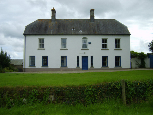 Ballynahallin Housefarm house · 765 yd
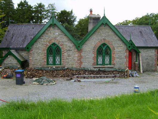 Solsborough Housegate lodge · 958 yd
 Battle of Vinegar Hill, 1798Monument · 1.8 mi
 Vinegar HillMountain / peak · 1.9 mi
 U.N. Peace MemorialMonument · 2.1 mi
 Le Tour De France en EnniscorthyMemorial · 2.1 mi
 Battle of Vinegar HillMajor battlefield · 2.2 mi
 National 1798 CentreMuseum · 2.4 mi
 Daphney CastleCastle, unclassified · 3.2 mi
 CastleCastle, ringwork · 4.2 mi