What is recorded here
This area was excavated (Licence no. 03E0067) in advance of development. Located towards the south-W limit of a field that also contains a flat cemetery (DU005-131---) and cremations pits (DU005-135001-; DU005-135002-) this area encompassed seven burnt spreads, five pits, one curvilinear trench and a linear feature. Charcoal from a pit was radiocarbon dated yielding a date range of 1310-1040 BC placing at least some of the activity in the Late Bronze Age (Carroll et al. 2008, 33).
Compiled by: Christine Baker
Date of upload: 2 February 2015
The monument record does not grant public access. Check the route and ask the landowner before entering private land.
- What survives
- Recorded monument
Places near here
 Fulacht fia in DarcystownFulacht fia · 1 yd
 Cremation pit in DarcystownCremation pit · 131 yd
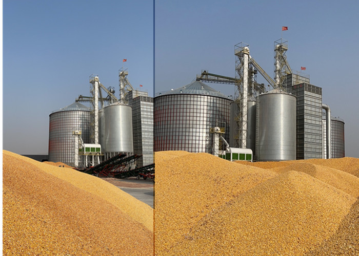 KilnKiln, corn-drying · 134 yd
 Flat cemetery in DarcystownFlat cemetery · 168 yd
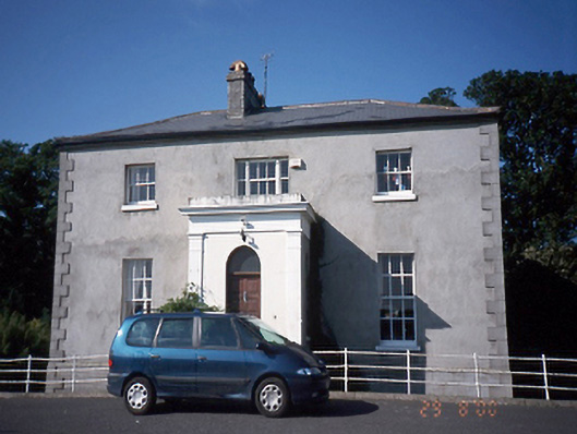 Tara Houserectory/glebe/vicarage/curate's house · 436 yd
 Balrothery Heritage CentreMuseum · 520 yd
 Balrothery TowerCastle · 528 yd
 Wavin LakesNature reserve · 1065 yd
 Barn WoodWood · 1.0 mi
 BBQ AreaPicnic place · 1.0 mi
 Ardgillan Castle and DemesneHeritage attraction · 1.1 mi
 Castle (remains of)Castle, tower house · 1.1 mi