What is recorded here
Excavation is where more than one hundred and thirty-eight cuts appeared before the N9/N10 Kilcullen-Waterford Road covered them. Some were deep pits, some no wider than a thumb, and beside them lay a broken Fulacht fia, its heat-worked stones cut short by later hands. The road needed a straight answer, so the ground gave up a crowded kitchen, a burial, or a forgotten festival.
Excavated in advance of construction of the N9/N10 Kilcullen-Waterford Road (Excavation Licence number E2583). Over 138 cut features were excavated, varying from large pits to small stake-holes. Found in association with a heavily truncated Fulacht fia (CW007-097----). (Richardson A. 2009, 41)
Reference:
Richardson A. (2009) 'Busherstown Burnt-mound trough, Bronze Age burial pit, prehistoric activity' in I. Bennett (ed.), Excavations 2006: summary accounts of archaeological excavations in Ireland, 41 (168). Bray. Wordwell
Compiled by: Claire Breen
Date of upload: 10 November 2010
The monument record does not grant public access. Check the route and ask the landowner before entering private land.
- What survives
- Recorded monument
Places near here
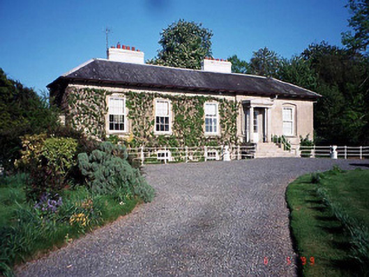 Bennekerry Lodgehouse · 431 yd
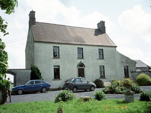 Busherstown Housefarm house · 791 yd
 Enclosure in BennekerryEnclosure · 827 yd
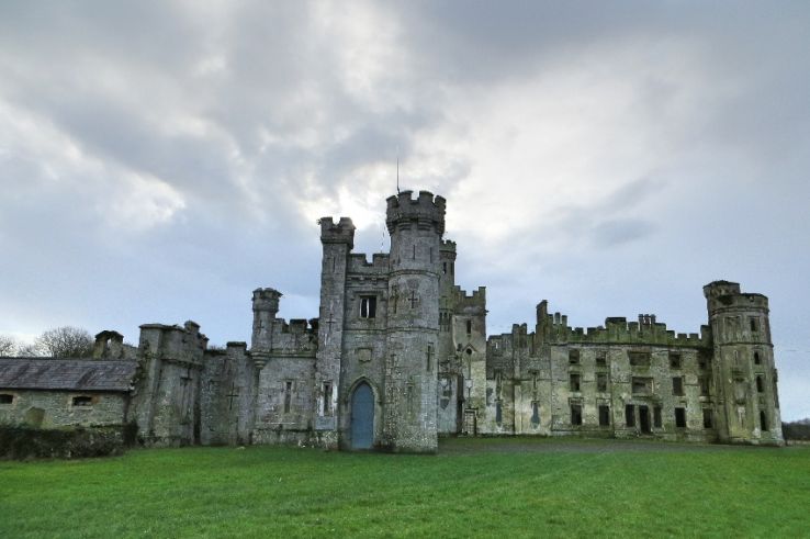 Enclosure in BusherstownEnclosure · 860 yd
 Graigue Castle in ruinsCastle, unclassified · 1115 yd
 Site of CastleCastle, unclassified · 1349 yd
 Brownshill Portal TombVisitor information · 1.7 mi
 Pedunculate OakPedunculate Oak · 2.3 mi
 Cork oakCork oak · 2.9 mi
 Duckett's GroveHeritage attraction · 3.1 mi
 Kilmurry Church (in ruins), GraveyardChurch · 3.1 mi
 Church (in ruins), GraveyardChurch · 4.1 mi