What is recorded here
Situated at the bottom of a SE-facing slope and on the N and S banks towards the source of a small canalised WSW-ENE stream at a point where the stream is running W-E. Monitoring of topsoil removal (E004646) during the construction phase of the M11 Gorey to Enniscorthy motorway in October 2016 identified archaeological deposits which were excavated (E004787) as Ballyorrill 3 in December 2016. Three pits (dims 0.74m x 0.62m; D 0.11m to 1.87m x 1.35m; D 0.42m) containing burnt stone are located close to the N edge of the stream. A sample of hazel from the base of one produced a C14 date of 1630-1497 cal. BC. A second phase consists of a single pit (dims 0.47m x 0.44m; D 0.17m) with evidence of burning located c. 45m N of the stream. It contained metallurgical waste and oak charcoal which produced a C14 date of 191-3 cal. BC. A third phase is represented by a WNW-ESE ditch (Wth of top 1.2m; D 0.65m) which was cut by a parallel and later ditch (Wth of top 0.9m; D 0.21m), both of which were filled with erosion layers. A fragment of hazel charcoal from the base of the earlier ditch produced a C14 date of 714-940 cal. AD. No artefacts were recovered from any context. The ditches are nearly parallel with and c. 25m S of the present townland boundary, which was recorded as an earthen bank (Wth 4.1m; H 1.1m) of reddish brown clay with drains to the N (Wth 2.4m; D 0.5m) and S (Wth 1.8m; D 0.48m). It was also the boundary between the medieval parishes of Monart to the N and St Mary’s Enniscorthy to the S. (Whitty and Kavanagh 2018)
Compiled by: Michael Moore
Date of upload: 23 October 2020
The monument record does not grant public access. Check the route and ask the landowner before entering private land.
- What survives
- Recorded monument
Places near here
 Fulacht fia in BallyorrillFulacht fia · 418 yd
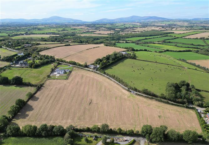 Habitation site in CoolnahornaHabitation site · 429 yd
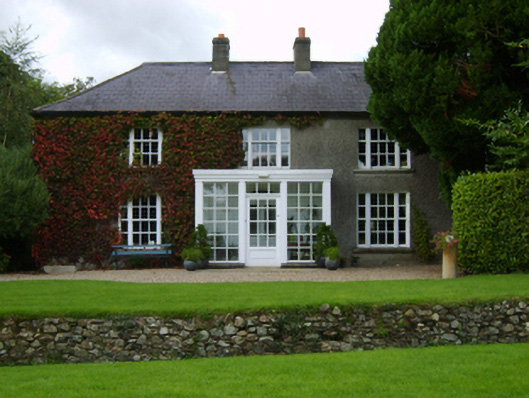 The Moynefarm house · 1281 yd
 KilnKiln, lime · 1626 yd
 U.N. Peace MemorialMonument · 2.1 mi
 Duffry GateMemorial · 2.1 mi
 Battle of Vinegar HillMajor battlefield · 2.2 mi
 National 1798 CentreMuseum · 2.6 mi
 Daphney CastleCastle, unclassified · 2.7 mi
 Pedunculate OakPedunculate Oak · 4.0 mi
 CastleCastle, ringwork · 4.3 mi
 European LarchEuropean Larch · 5.9 mi