
What is recorded here
From OpenStreetMap (© OpenStreetMap contributors) n332372939
Places near here
Photo credits
- Maker not stated on source page, commons.wikimedia.org
- Maker not stated on source page, www.irelandhighlights.com
- Maker not stated on source page, en.topwar.ru
- Maker not stated on source page, www.pinterest.com
- Ernest Riordan, Geograph · CC BY-SA 2.0
- Maker not stated on source page, za.pinterest.com
- National Inventory of Architectural Heritage
- Maker not stated on source page, www.dreamstime.com
- Maker not stated on source page, www.alamy.com
- Maker not stated on source page, en.wikipedia.org
 Standing stone in CummeengeeraStanding stone · 1112 yd
Explorer Tom Standing stone in Cummeengeera is doing a bit of a reality show. It’s got that 'I’m too small to matter' vibe going on…
 Megalithic structure in ShronebirraneMegalithic structure · 1481 yd
Explorer Tom Megalithic structure in Shronebirrane is covered in bog, so the seagulls say it’s actually a giant sleeping under a…
 Enclosure in Deelis (glanarought By., Glanmore Ed)Enclosure · 1502 yd
Explorer Tom Enclosure in Deelis smells like wet wool and ancient secrets, according to my very reliable nose. It’s basically a…
 Standing stone in Glanmore (glanarought By.)Standing stone · 1.2 mi
Explorer Tom Standing stone in Glanmore is lying flat on the ground, looking like it gave up after three cups of tea. It sits right…
 KnocknagreeMountain / peak · 1.9 mi
Explorer Tom Knocknagree is claimed to have been invented by a local man who just pointed at it one day. He says he named it…
 Standing stone in Ardgroom OutwardStanding stone · 2.0 mi
Explorer Tom This standing stone in Ardgroom Outward slopes down to the northeast like a lazy dog. Two burnt mounds are chilling…
 Mare's Tail WaterfallWaterfall · 2.6 mi
Explorer Tom Mare's Tail Waterfall sings 'The Sound of Silence' on loop because it thinks it’s very dramatic and everyone else is…
 Cappul BridgeBridge · 3.6 mi
Explorer Tom Cappul Bridge in Ardgroom Inward is a handsome coastal bridge with a second smaller arch for flooding, which is…
 Standing stone in Inches (bear By.)Standing stone · 5.2 mi
Explorer Tom Standing stone in Inches stands rectangular and upright on a rough grazing slope. It’s about two metres high and…
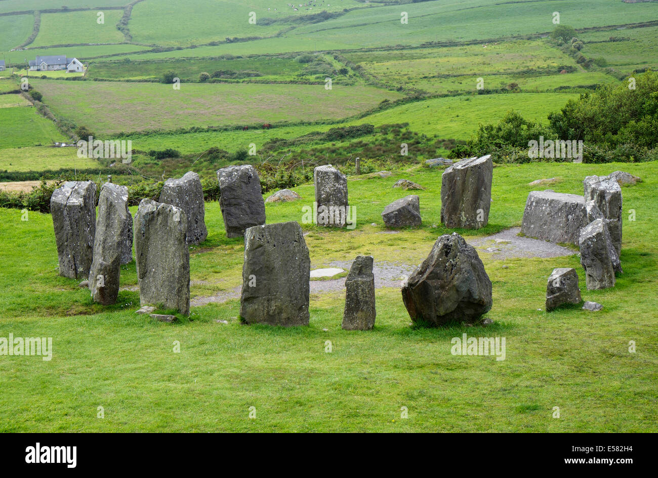 Anomalous stone group in CrumpaneAnomalous stone group · 5.7 mi
Explorer Tom Anomalous stone group in Crumpane would tell its younger self to stop trying so hard to stand straight in the bog. Two…
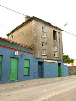 The Silver Dollar BarHouse · 6.3 mi
Explorer Tom The Silver Dollar Bar in Derreenataggart Middle is named after a coin that probably isn’t real, which fits perfectly…
 Droum CemeteryCemetery · 6.5 mi
Explorer Tom Droum Cemetery in County Cork has a serious beef with that one big tree next door. It’s been shouting across the fence…
More mountains and hills in County Kerry · All of County Kerry

What do you know about this place?Tap to add a comment or ask a question