What is recorded here
Located on a slight rise on the floodplain of the River Dee c. 3.5km from where it debouches into the sea at Annagassan, with a SW-NE section of the stream c. 70m to the NW. It is also on the demesne of Drumcar. A large oval enclosure (dims c. 90m NE-SW; c. 60m NW-SE) defined by a wide fosse (Wth c. 3-5m) is visible on Google Earth (21/07/2021). Other wide drainage features that might have been associated with meanders of the river are also visible. The enclosure is also visible as a slightly raised feature on Google Earth (05/10/2009; 28/01/2017). Thanks to Anthony Murphy for drawing attention to the Google Earth images.
See the attached enhanced virw from Google Earth (21/07/2021)
The above description is derived from both the published 'Archaeological Inventory of County Louth' (Dublin: Stationery Office, 1986) and the 'Archaeological Survey of County Louth' (Dublin: Stationery Office, 1991). In certain instances the entries have been revised and updated in the light of recent research.
Revised by: Michael Moore
Date of revision: 7 September 2021
A local fairy fort (ringfort/rath); wider significance not recorded.
The monument record does not grant public access. Check the route and ask the landowner before entering private land.
- What survives
- Recorded monument
Places near here
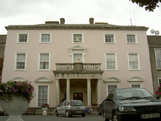 Drumcar Housecountry house · 385 yd
 Ecclesiastical site in DrumcarEcclesiastical site · 640 yd
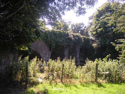 Drumcar Bridgebridge · 698 yd
 Enclosure in MullincrossEnclosure · 733 yd
 GreenmountCastle, motte and bailey · 1711 yd
 Castle (Site of)Castle, unclassified · 2.1 mi
 Tullydonnell HillMountain / peak · 2.3 mi
 Drummeenagh HillMountain / peak · 2.8 mi
 Graveyard in Richardstown (ardee By., Richardstown Par.)Graveyard · 3.0 mi
 Monterey CypressMonterey Cypress · 3.0 mi
 European BeechEuropean Beech · 3.2 mi
 Graveyard in DysartGraveyard · 3.3 mi