What is recorded here
Brady’s Fort stands on a narrow esker ridge in County Meath, its D-shaped banks stretching one hundred and twenty metres across the land. The straight eastern edge still marks the boundary with Ballynagranshy, while the western curve has faded into ordinary fields. People may have lived inside that oval shadow before the banks disappeared, but only the ridge and the remaining earth testify now.
Situated on a N-S esker ridge A large D-shaped enclosure (dims c. 120m E-W; c. 120m N-S) defined by field banks and with the straight side (L c. 100m) at E is depicted on the 1836 edition of the OS 6-inch map where it is described in gothic lettering as a ‘Fort’. The bank W-N incorporates the townland boundary with Ballynagranshy. It is depicted similarly on the 1908 edition but with the bank partially depicted by hachures SW-W. It is locally known as ‘Brady’s Fort’, but the perimeter at W is removed. It is possible that the original perimeter extended out to the E making an oval enclosure and that some of the original defences might survive at S.
The above description is derived from the published 'Archaeological Inventory of County Meath' (Dublin: Stationery Office, 1987). In certain instances the entries have been revised and updated in the light of recent research.
Compiled by: Michael Moore
Date of revision: 31 October 2018
The monument record does not grant public access. Check the route and ask the landowner before entering private land.
- What survives
- Recorded monument
Places near here
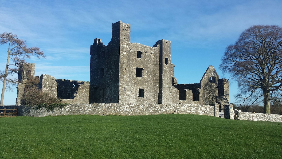 Enclosure in Baltrasna (fore By.)Enclosure · 559 yd
 IndicatedFairy fort / earthen ringfort · 1403 yd
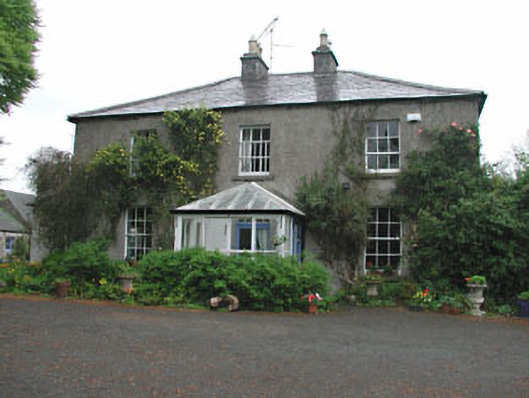 Killeagh Houserectory/glebe/vicarage/curate's house · 1585 yd
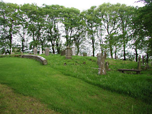 graveyard/cemeterygraveyard/cemetery · 1743 yd
 European BeechEuropean Beech · 1748 yd
 The MoatCastle, motte and bailey · 1.0 mi
 CastleCastle, unclassified · 1.1 mi
 Mount FortuneMountain / peak · 2.1 mi
 Memorial CrossMemorial · 2.3 mi
 Mullaghmeen ForestPicnic place · 2.5 mi
 Zip WireHeritage attraction · 2.8 mi
 European YewEuropean Yew · 2.9 mi