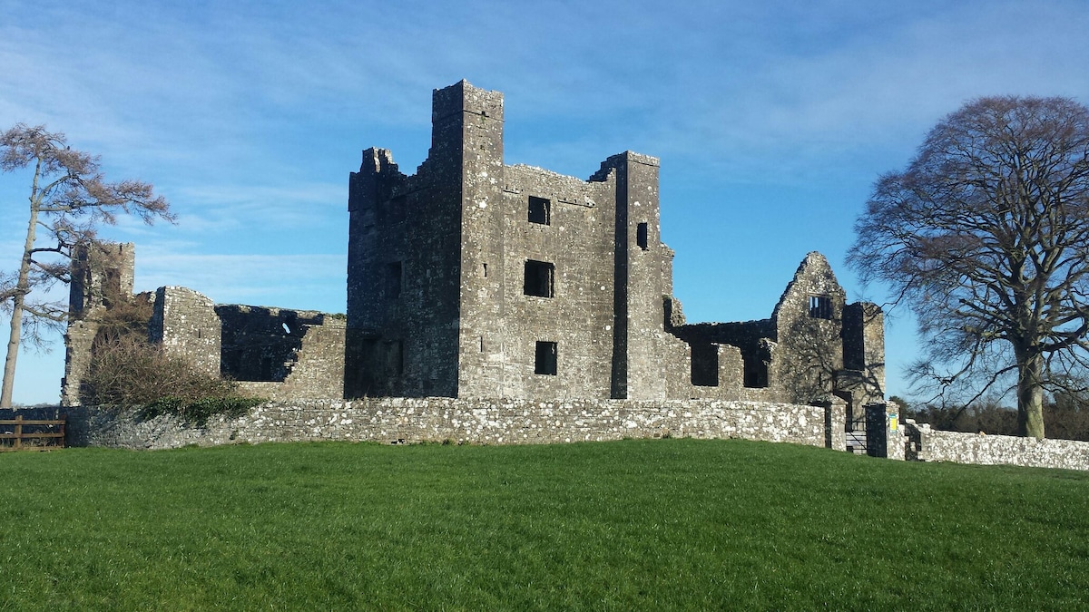
What is recorded here
Located on a low ridge in a gently undulating landscape. This is a subcircular grass-covered area (dims c. 21m NNW-SSE; 18.15m ENE-WSW) defined by a scarp (at WSW: Wth 1m; H 0.5m). There is no visible fosse or entrance and the NW quadrant has been quarried, but it is probably a rath. Rath (ME014-010----) is immediately to the NE.
Compiled by: Michael Moore
Date of upload: 21 November 2018
The monument record does not grant public access. Check the route and ask the landowner before entering private land.
- What survives
- Recorded monument
Places near here
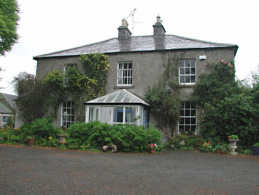 Killeagh Houserectory/glebe/vicarage/curate's house · 1316 yd
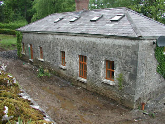 worker's houseworker's house · 1512 yd
 IndicatedEnclosure · 1680 yd
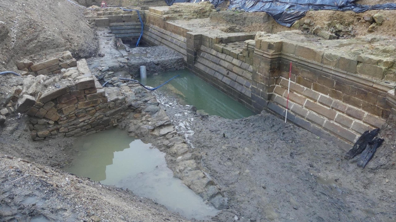 Enclosure in Moat (fore By.)Enclosure · 1.2 mi
 European BeechEuropean Beech · 1.3 mi
 The MoatCastle, motte and bailey · 1.3 mi
 CastleCastle, unclassified · 1.6 mi
 Mount FortuneMountain / peak · 2.0 mi
 Memorial CrossMemorial · 2.2 mi
 Zip WireHeritage attraction · 2.5 mi
 European YewEuropean Yew · 2.6 mi
 Mullaghmeen ForestPicnic place · 2.8 mi
Other information
Photo: Credit not shown in the picture search · Rights wording not checked; contact us if this picture should be removed