What is recorded here
Cropmark of enclosure (approx. diam. 45m) visible on Google earth aerial imagery.
See attached image taken from Google Earth aerial photograph taken 03/07/2019.
Compiled by: Caimin O'Brien based on details kindly provided by Matthew Mullen Reynolds.
Date of upload: 21 November 2019
The monument record does not grant public access. Check the route and ask the landowner before entering private land.
- What survives
- Recorded monument
Places near here
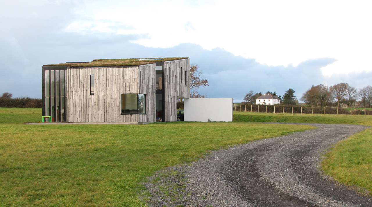 Enclosure in SrowlandEnclosure · 532 yd
 IndicatedEnclosure · 744 yd
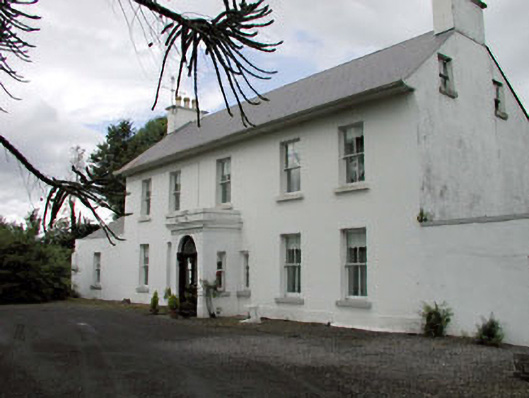 Salisbury Househouse · 1168 yd
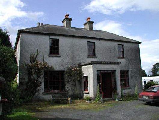 Moatstown Housemiller's house · 1603 yd
 Reban CastleCastle, Anglo-Norman masonry castle · 1.6 mi
 Bawn in Townparks (athy West Urban Ed)Bawn · 1.7 mi
 1798 memorialMemorial · 2.2 mi
 Ernest ShackletonMemorial · 2.2 mi
 Town HallMuseum · 2.2 mi
 Derryvullagh IslandForest · 2.3 mi
 Scots PineScots Pine · 2.6 mi
 History of Moat of ArdscullVisitor information · 3.5 mi