What is recorded here
In rough pasture, located on a relatively level area on the gently undulating top of Twomilestone ridge. The outline of this small enclosure is barely discernible. It consists of a subcircular area (diam. 10-12m) defined on its perimeter by levelled wall or bank which is visible as a slightly raised undulation (Wth 1.5-2m) marked by differential vegetation growth. It appears to be incorporated into a network of relict field boundaries (DG103-057001-) defining sub-rectangular fields.
Compiled by: Jane O'Shaughnessy
Date of upload: 2 September 2016
A local fairy fort (ringfort/rath); wider significance not recorded.
The monument record does not grant public access. Check the route and ask the landowner before entering private land.
- What survives
- Recorded monument
Places near here
 Not inidcatedEnclosure · 206 yd
 Enclosure in Tullymore (ballyshannon Ed)Enclosure · 544 yd
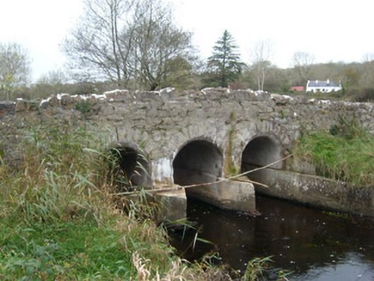 Tullymore Bridgebridge · 1216 yd
 Church in ArdgillewChurch · 1372 yd
 HawthornHawthorn · 1.6 mi
 St Anne's Church GraveyardGraveyard · 2.0 mi
 Rory GallagherMemorial · 2.1 mi
 CastleCastle, unclassified · 2.1 mi
 RossnowlaghOfficial bathing water · 2.2 mi
 Castle in ruinsCastle, unclassified · 2.7 mi
 Dark Cliffs at KilbarronPublicly named cliff or headland · 2.8 mi
 Wardtown StrandBeach / strand · 3.0 mi
Other information
Photo: Credit not shown in the picture search · Rights wording not checked; contact us if this picture should be removed