
What is recorded here
In tillage. A circular enclosure (diam. c. 25m), defined by a fosse, visible on satellite imagery (Google Earth satellite image, imagery date 18 July 2021), identified and reported by Jean-Charles Caillère.
See attached:
TS081-087----_01 Google Earth satellite image, imagery date 18 July 2021
Compiled by: Jean Farrelly
Date of upload: 23 February 2022
The monument record does not grant public access. Check the route and ask the landowner before entering private land.
- What survives
- Recorded monument
Places near here
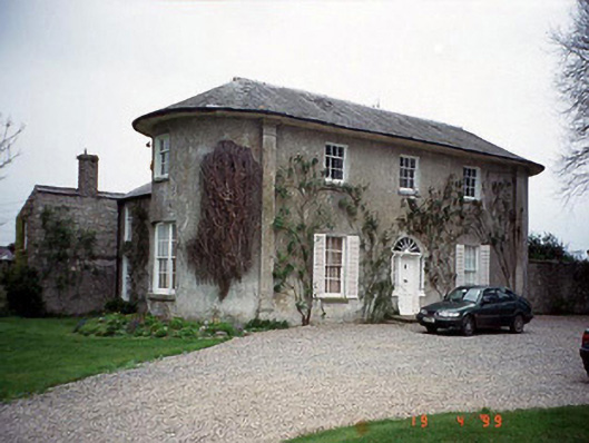 Hardymount Househouse · 597 yd
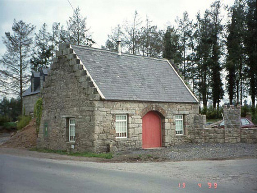 forge/smithyforge/smithy · 640 yd
 Ladys Well (covered)Holy well · 1204 yd
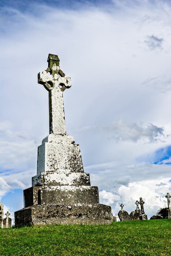 Cross in TullowbegCross · 1238 yd
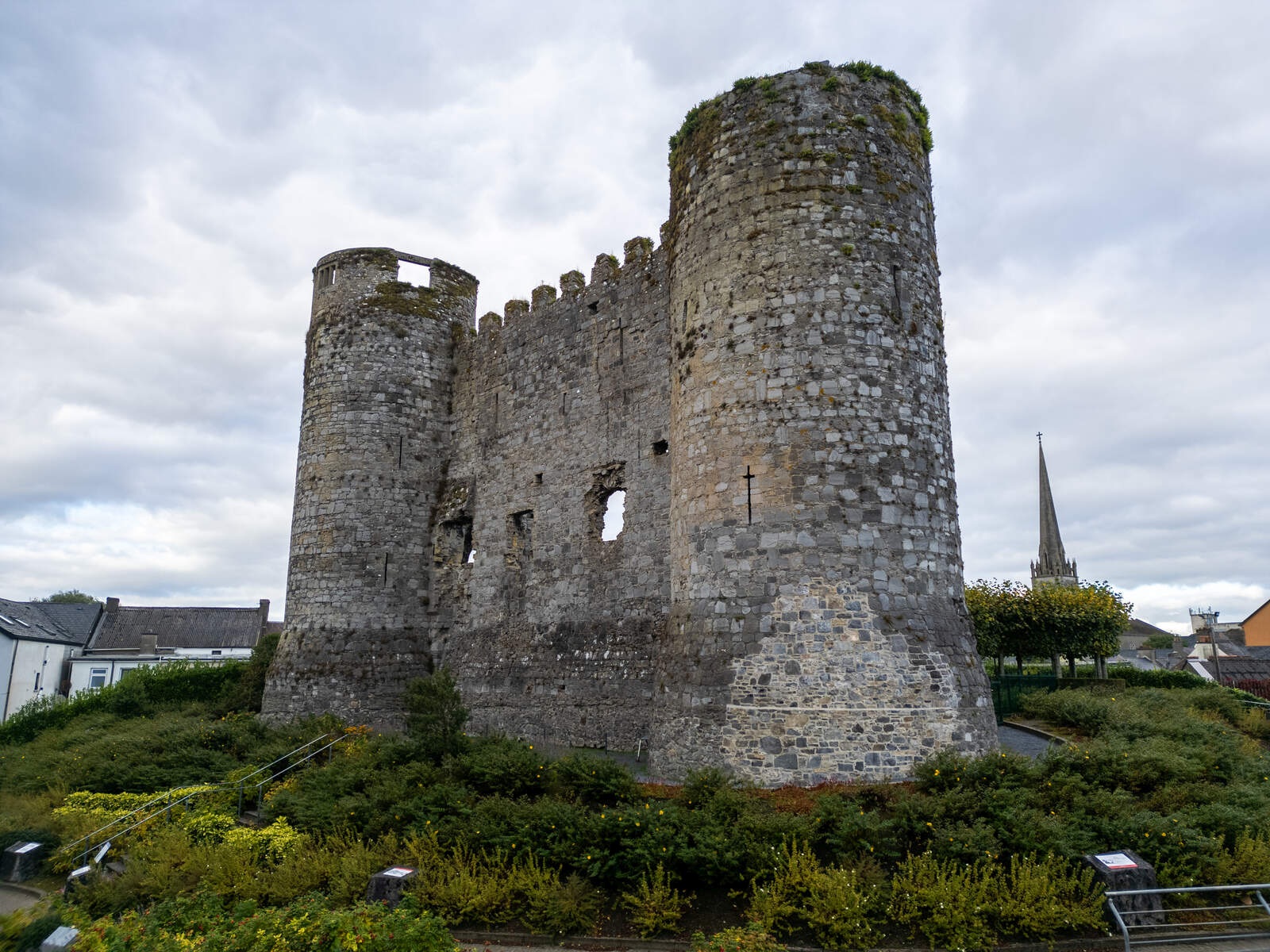 CastleCastle, motte · 1643 yd
 European ashEuropean ash · 2.0 mi
 Coppenagh CastleCastle, tower house · 2.2 mi
 Kilmurry Church (in ruins), GraveyardChurch · 3.3 mi
 Rath WoodForest · 3.5 mi
 Altamont Gardens MapVisitor information · 4.6 mi
 Altamont House and GardensHeritage attraction · 4.6 mi
 Duckett's GroveHeritage attraction · 4.8 mi
Other information
Photo: Credit not shown in the picture search · Rights wording not checked; contact us if this picture should be removed