What is recorded here
In pasture. A circular enclosure (diam. c. 30m) visible on satellite imagery (Google Earth satellite image, imagery date 20 January 2020), identified and reported by Jean-Charles Caillère. On the 1st (1840) ed. OS 6-inch map the enclosure is not depicted, but the area is shown as being occupied by a small tree plantation (dims. c. 180m NE-SW; c. 90m NW-SE) within which is an adjacent enclosure (TS081-036----) c. 45m to the SW, now largely levelled. The Google Earth satellite imagery also shows another possible enclosure (TS081-088----) adjoining to the NE, the N and E sides of which also appear to have formed the NE edge of the tree plantation. There is another enclosure (TS081-035----) 325m to the NW.
See attached:
TS081-087----_01 Google Earth satellite image, imagery date 20 January 2020
Compiled by: Jean Farrelly
Date of upload: 23 February 2022
The monument record does not grant public access. Check the route and ask the landowner before entering private land.
- What survives
- Recorded monument
Places near here
 Enclosure in ScartanaEnclosure · 488 yd
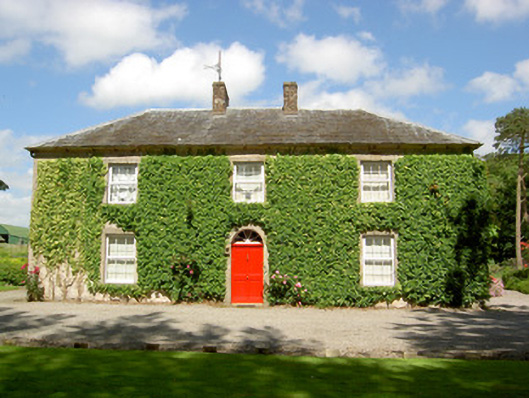 Farmly Househouse · 1200 yd
 Enclosure in DerravoherEnclosure · 1419 yd
 Water millWater mill, unclassified · 1421 yd
 CastleCastle, motte · 1.1 mi
 Roosca CastleCastle · 1.5 mi
 Garrycloher WoodForest · 1.6 mi
 Pedunculate OakPedunculate Oak · 2.1 mi
 Woodcock HillMountain / peak · 2.8 mi
 Cahir CastleHeritage attraction · 3.3 miSiege of Cahir Castlesiege · 3.3 mi
 Caher AbbeyHeritage attraction · 3.6 mi