
What is recorded here
Situated on a small ridge of high ground. No surface remains visible of a small enclosure marked as a fort on the OS Fair Plan. Depicted as a small grove of trees rather than as an antiquity on the current edition of the OS 6-inch map.
Compiled by: Caimin O’Brien
Date of upload: 11 March 2013
A local fairy fort (ringfort/rath); wider significance not recorded.
The monument record does not grant public access. Check the route and ask the landowner before entering private land.
- What survives
- Recorded monument
Places near here
 OutlinedEnclosure · 253 yd
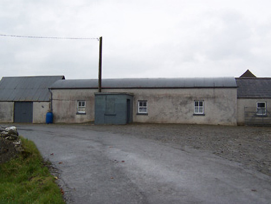 farm housefarm house · 801 yd
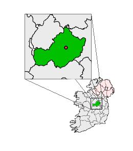 Partially outlinedCastle, unclassified · 1403 yd
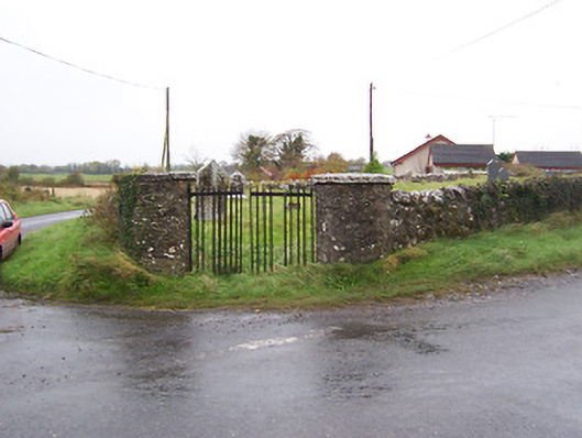 Balrath Graveyardgates/railings/walls · 1474 yd
 Balrath CastleCastle · 1487 yd
 Bonfire HillMountain / peak · 4.4 mi
 Ardan WoodWood · 4.4 mi
 Kilmalady HillMountain / peak · 5.3 mi
 Sam's ParkForest · 5.5 mi
 St. Columba's WellSpring · 6.2 mi
 Clara Bog BoardwalkHeritage attraction · 8.7 mi
Other information
Photo: Credit not shown in the picture search · Rights wording not checked; contact us if this picture should be removed