What is recorded here
Situated on a small ridge of high ground. No surface remains visible of a small enclosure marked as a fort on the OS Fair Plan. Depicted as an irregular grove of trees rather than as an antiquity on the current edition of the OS 6-inch map.
From the National Monuments Service (Archaeological Survey of Ireland) record WM032-084
The monument record does not grant public access. Check the route and ask the landowner before entering private land.
- What survives
- Recorded monument
Places near here
Photo credits
- National Inventory of Architectural Heritage
- Mike Searle, Geograph · CC BY-SA 2.0
- Seán Dunne, Wikimedia Commons · CC BY-SA 4.0
- kevin higgins, Wikimedia Commons · CC BY-SA 2.0
- Willow, Wikimedia Commons · CC BY 2.5
- JP, Geograph · CC BY-SA 2.0
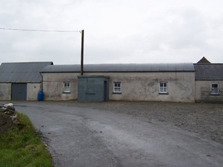 farm house728 yd
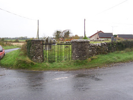 Balrath GraveyardGates/railings/walls · 1222 yd
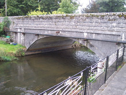 Ballynagore BridgeBridge · 1680 yd
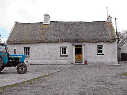 farm house1694 yd
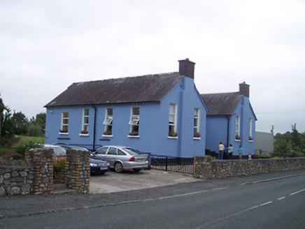 Saint Patrick's National SchoolSchool · 1702 yd
 Laragh CastleCastle · 5.0 mi
 Durrow AbbeyArchaeological place · 6.1 mi
 St. Columbkilles CrossCross, High cross · 6.2 mi
 Durrow MoatCastle, motte · 6.2 mi
 European ash7.4 miEuropean ash7.5 mi
 Grand Canal WayWalking route · 9.2 mi
More archaeology and monuments in County Westmeath · All of County Westmeath
What do you know about this place?