
What is recorded here
From the National Monuments Service (Archaeological Survey of Ireland) record KD005-038
Places near here
Photo credits
- MBE21, Geograph · CC BY-SA 2.0
- National Inventory of Architectural Heritage
- Maker not stated on source page, www.flickr.com
- Kmcnamee, Wikimedia Commons · CC BY-SA 4.0
- Maker not stated on source page, stock.adobe.com
- Scaramanga731, Wikimedia Commons · CC BY-SA 4.0
- William Murphy from Dublin, Ireland, Wikimedia Commons · CC BY-SA 2.0
- Maker not stated on source page, tuscanfoundry.com
 Church in MoyglareChurch · 771 yd
Explorer Tom Church in Moyglare saw a love story end badly right next door to its front gate. The chancel was ruined in 1622…
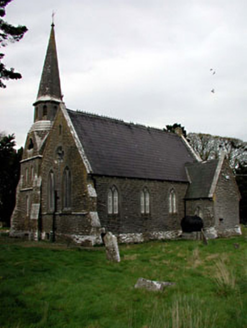 Saint Paul's Church (Moyglare)Church/chapel · 771 yd
Explorer Tom Saint Paul’s in Moyglare really hates when people trip over its doorstep, which is quite a tall one. The masonry is so…
 Moyglare CastleHouse, 16th/17th century · 896 yd
Explorer Tom Moyglare Castle in Moyglare has strong opinions about the road that leads to it, calling it 'a muddy mess of ambition.'…
 Maynooth GAA ClubGAA ground · 1374 yd
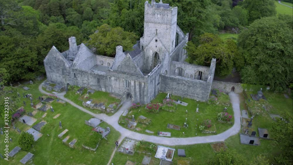 Laraghbryan Church (in Ruins)Church · 1663 yd
Explorer Tom Laraghbryan Church in Laraghbryan East was good in 1615, then the roof went missing by 1630. It probably groans at…
 Jackson's Bridge and 14th LockBridge · 1.0 mi
Explorer Tom Jackson's Bridge spans a canal, a railway, and a stream, which is basically triple threat status for any bridge in…
 Maria VillaHouse · 1.1 mi
Explorer Tom Maria Villa is proud of its mid-eighteenth-century roots and its perfectly symmetrical plan, which makes it very smug…
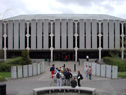 Saint Patrick's CollegeLibrary/archive · 1.2 mi
Explorer Tom Saint Patrick's College in Kildare is moaning about its concrete bones clashing with fancy old Georgian bits. It tells…
 Saint Mary's Catholic ChurchPresbytery/parochial/curate's house · 1.2 mi
Explorer Tom Saint Mary's in Maynooth was built because someone bet a priest they couldn't finish it before Easter Sunday. The porch…
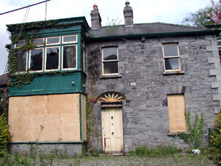 Manor MillsHouse · 1.2 mi
Explorer Tom Manor Mills in Maynooth is a mill owner’s house that has since retired from its job and started to rot in the best…
 Maynooth CastleHeritage attraction · 1.3 mi
Explorer Tom Maynooth Castle stood where two streams meet, a clever place to build if you like water on your side. The FitzGeralds…
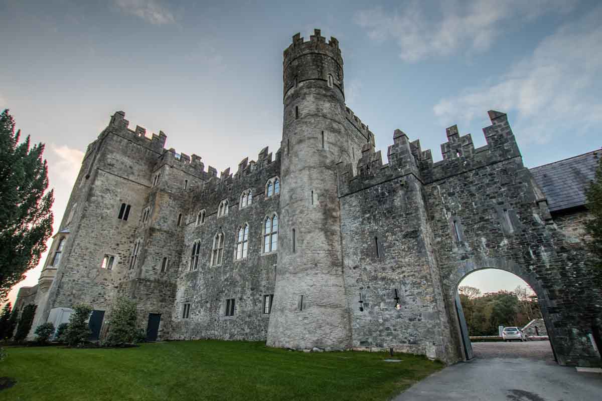 Geraldine's CastleCastle · 1.3 mi
Explorer Tom Geraldine's Castle has an imaginary twin across the sea that it writes letters to every month about how much better we…
More archaeology and monuments in County Kildare · All of County Kildare

What do you know about this place?Tap to add a comment or ask a question