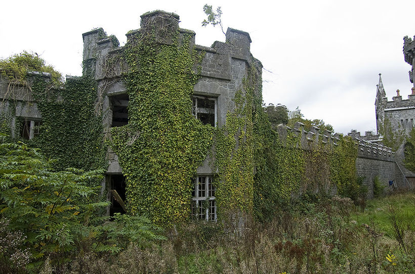
What is recorded here
The following description is derived from the published 'Archaeological Inventory of County Carlow' (Dublin: Stationery Office, 1993). In certain instances the entries have been revised and updated in the light of recent research.
Date of upload/revision: 17 July 2007
Aerial photographs (GSI S 363) shows cropmark of fairly small circular area surrounded by cropmarks of two fosses with intervening bank (est max. diam. c. 30m). No visible surface traces.
The monument record does not grant public access. Check the route and ask the landowner before entering private land.
- What survives
- Recorded monument
Places near here
 Templenaboe (in Ruins)Church · 536 yd
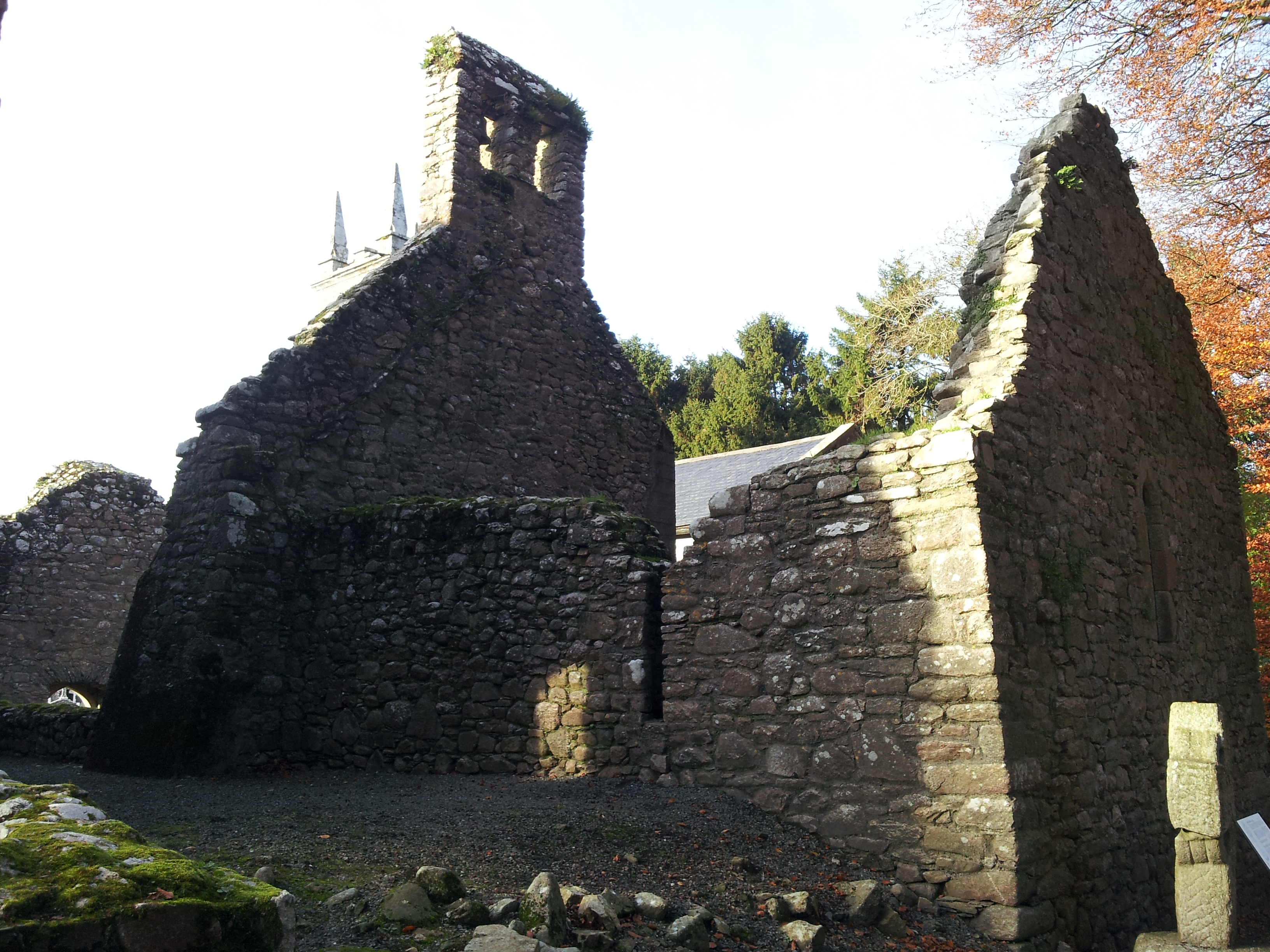 St. Mullins Oratory (in Ruins)Church · 678 yd
 Enclosure in BahanaEnclosure · 837 yd
 St. Mullins WellHoly well · 1187 yd
 Bahana WoodForest · 1265 yd
 St. Mullins MoatCastle, motte and bailey · 1343 yd
 Graveyard in St. Mullin'sGraveyard · 1347 yd
 The SpoutSpring · 1.2 mi
 The Kiln FieldWood · 1.9 mi
 Clogaralt Castle (site of)Archaeological place · 2.1 mi
 Brandon HillMountain / peak · 2.3 mi
 Freney's WellSpring · 2.7 mi
Other information
Photo: Credit not shown in the picture search · Rights wording not checked; contact us if this picture should be removed