What is recorded here
The following description is derived from the published 'Archaeological Inventory of County Carlow' (Dublin: Stationery Office, 1993). In certain instances the entries have been revised and updated in the light of recent research.
Date of upload/revision: 17 July 2007
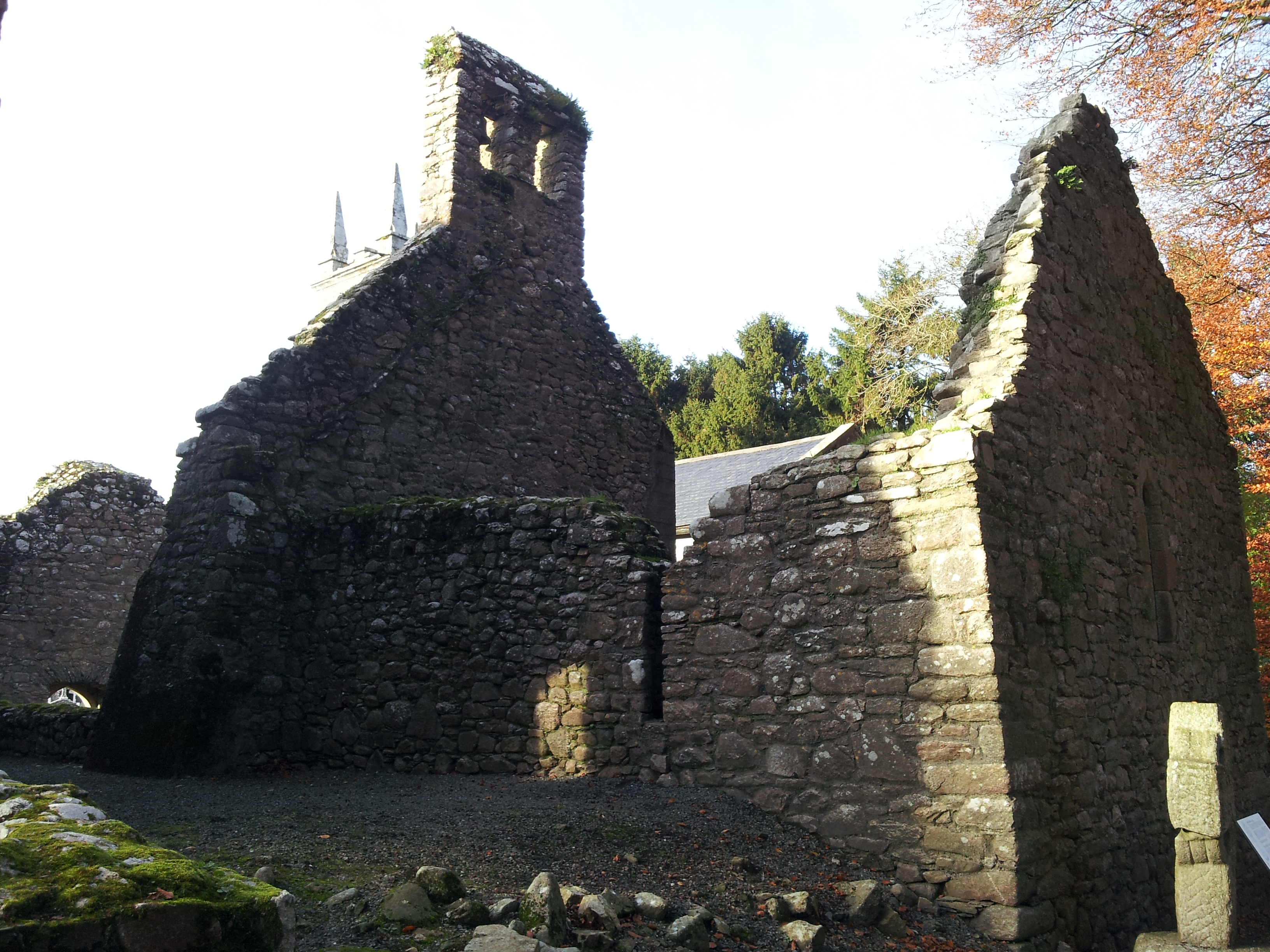
Not marked on 1839 'OS 6-inch' map. Known locally as 'The Sluiceman's Hut'. Adjacent to confluence of Aughavaud River and 'St. Mullins Watercourse'. Rectangular structure (c. 5.1m E-W, 3.2m N-S). Drystone walling, three courses high, of large, roughly coursed granite boulders. Entrance in W wall by N angle.
The monument record does not grant public access. Check the route and ask the landowner before entering private land.
- What survives
- Recorded monument
Places near here
 Saint Moling's Catholic Churchchurch/chapel · 520 yd
 Enclosure in TemplenaboeEnclosure · 678 yd
 Enclosure in BahanaEnclosure · 899 yd
 Templenaboe (in Ruins)Church · 1108 yd
 Graveyard in St. Mullin'sGraveyard · 1734 yd
 St. Mullins MoatCastle, motte and bailey · 1.0 mi
 Bahana WoodForest · 1.0 mi
 The SpoutSpring · 1.5 mi
 The Kiln FieldWood · 2.2 mi
 Clogaralt Castle (site of)Archaeological place · 2.2 mi
 CarrigvahanaghMountain / peak · 2.4 mi
 Brandon HillMountain / peak · 2.7 mi
Other information
Photo: Credit not shown in the picture search · Rights wording not checked; contact us if this picture should be removed